Downtown in Tucson in Pima County, Arizona — The American Mountains (Southwest)
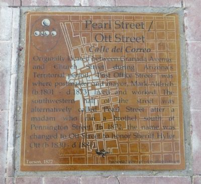
Pearl Street / Ott Street
Calle del Correo
Erected 2013 by City of Tucson Historic Preservation Office.
Topics. This historical marker is listed in this topic list: Roads & Vehicles. A significant historical year for this entry is 1801.
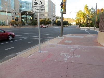
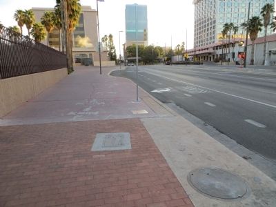
Location. 32° 13.293′ N, 110° 58.55′ W. Marker is in Tucson, Arizona, in Pima County. It is in Downtown. Marker is at the intersection of West Congress Street and North Granada Avenue, on the right when traveling west on West Congress Street. Marker is mounted horizontally in the sidewalk on the northeast corner of the intersection. Touch for map. Marker is at or near this postal address: 314 W Congress St, Tucson AZ 85701, United States of America. Touch for directions.
Other nearby markers. At least 8 other markers are within walking distance of this marker. Congress Street (within shouting distance of this marker); Granada Avenue (within shouting distance of this marker); Main Avenue (within shouting distance of this marker); Arizona's First Public School (within shouting distance of this marker); Presidio Wall Camino Real (about 400 feet away, measured in a direct line); Southwest Corner of the Presidio (about 400 feet away); Alameda Street (about 500 feet away); Padre-Eusebio-Francisco-Kino, S.J. (about 500 feet away). Touch for a list and map of all markers in Tucson.
Additional keywords. prostitution
Credits. This page was last revised on April 19, 2018. It was originally submitted on November 13, 2013, by Bill Kirchner of Tucson, Arizona. This page has been viewed 667 times since then and 48 times this year. Photos: 1, 2, 3. submitted on November 13, 2013, by Bill Kirchner of Tucson, Arizona. • Andrew Ruppenstein was the editor who published this page.


