Near Elizabethtown in Belmont County, Ohio — The American Midwest (Great Lakes)
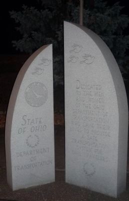
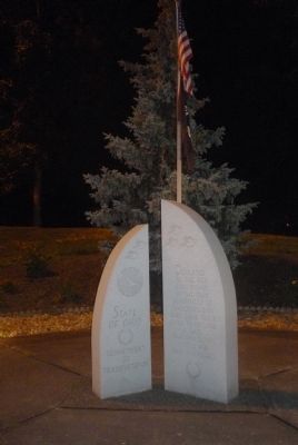
State of Ohio
Department of Transportation Memorial
Dedicated to the men and women of the Ohio Department of Transportation who gave their lives to provide a safe and transportation system for Ohio travelers.
Erected by Ohio Department of Transportation.
Topics. This historical marker is listed in this topic list: Roads & Vehicles.
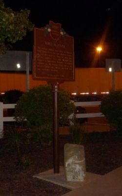
Location. 40° 3.891′ N, 81° 0.632′ W. Marker is near Elizabethtown, Ohio, in Belmont County. Marker can be reached from Roadside Park (Interstate I-70) west of Plainfield Road (Ohio Route 78), on the right when traveling west. Marker is in "Roadside Park", adjacent to a "Mile Marker" sign duplicating the series marker off the westbound I-70 rest stop parking area. Touch for map. Marker is at or near this postal address: I-70 Roadside Park, Saint Clairsville OH 43950, United States of America. Touch for directions.
Other nearby markers. At least 8 other markers are within 6 miles of this marker, measured as the crow flies. Mile Marker (about 300 feet away, measured in a direct line); Welcome to the National Road (about 300 feet away); The Dwight D. Eisenhower Highway (about 300 feet away); a different marker also named Mile Marker (approx. 0.2 miles away); Morristown (approx. 2.8 miles away); Harley E. Warrick (approx. 3.1 miles away); St. Clairsville (approx. 5.3 miles away); Veterans Memorial (approx. 5.7 miles away).
Related marker. Click here for another marker that is related to this marker. To better understand the relationship, study each marker in the order shown.
Credits. This page was last revised on June 16, 2016. It was originally submitted on November 22, 2013, by Richard E. Miller of Oxon Hill, Maryland. This page has been viewed 639 times since then and 23 times this year. Photos: 1, 2, 3. submitted on November 22, 2013, by Richard E. Miller of Oxon Hill, Maryland. • Al Wolf was the editor who published this page.


