Near Mountain Home in Elmore County, Idaho — The American West (Mountains)
Rattlesnake Station
Photographed by Duane Hall, September 14, 2010
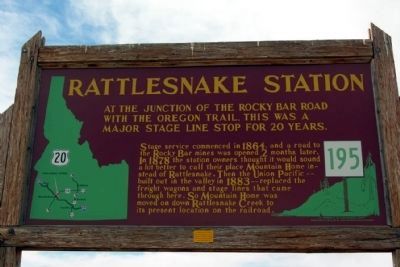
1. Rattlesnake Station Marker
At the junction of the Rocky Bar Road with the Oregon Trail, this was a major stage line stop for 20 years.
Stage service commenced in 1864, and a road to the Rocky Bar mines was opened 2 months later. In 1878 the station owners thought it would sound a lot better to call their place Mountain Home instead of Rattlesnake. Then the Union Pacific -- built out in the valley in 1883 -- replaced the freight wagons and stage lines that came through here. So Mountain Home was moved on down Rattlesnake Creek to its present location on the railroad.
Erected by Idaho Historical Society and Idaho Transportation Department. (Marker Number 195.)
Topics and series. This historical marker is listed in these topic lists: Railroads & Streetcars • Settlements & Settlers. In addition, it is included in the Idaho State Historical Society series list. A significant historical year for this entry is 1864.
Location. 43° 8.868′ N, 115° 39.516′ W. Marker is near Mountain Home, Idaho, in Elmore County. It is on Sun Valley Highway (U.S. 20 at milepost 102.7) north of Industrial Way, on the left when traveling south. Touch for map. Marker
this page online

Regionally, this marker is on Idaho’s Snake River Plain, in Greater Boise, and on the Shoshone–Paiute Duck Valley Reservation. It is also in the American Mountain West. Globally, it is in North America, the Rocky Mountains, the Western Hemisphere, the Western World, and the Anglosphere.
Other nearby markers. At least 8 other markers are within 9 miles of this marker, measured as the crow flies: Site 5 ★ Rattlesnake Creek (here, next to this marker); Mountain Home Irrigation District (approx. ¾ mile away); Mountain Home Arrives in a 50-pound Soapbox (approx. 2.2 miles away); Oregon Trail 1864 (approx. 6.3 miles away); Site 4 ★ Hot Springs (approx. 6.9 miles away); Site 6 ★ Kelton Road (approx. 7.2 miles away); Toll Gate (approx. 8.2 miles away); Site 7 ★ Canyon Creek (approx. 8.2 miles away). Touch for a list and map of all markers in Mountain Home.
Photographed by Duane Hall, September 14, 2010
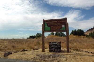
2. Rattlesnake Station Marker
Photographed by Barry Swackhamer, May 16, 2018
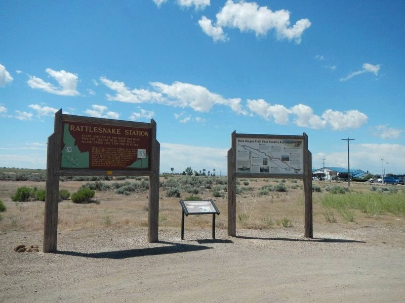
3. Rattlesnake Station Marker
This marker has been relocated from its site near the intersection of U.S. Highway 20 and Teapot Road to site near the intersection of U.S. Highway 20 and Industrial Way,
Credits. This page was last revised on December 28, 2024. It was originally submitted on November 27, 2013, by Duane Hall of Abilene, Texas. This page has been viewed 2,775 times since then and 171 times this year. Photos: 1, 2. submitted on November 27, 2013, by Duane Hall of Abilene, Texas. 3. submitted on November 1, 2018, by Barry Swackhamer of Brentwood, California.
