Manly in Northern Beaches Council, New South Wales, Australia — Oceania
Marine Parade
1920s
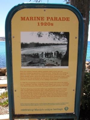
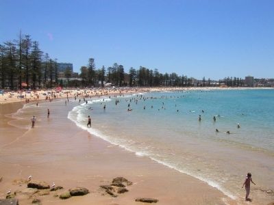
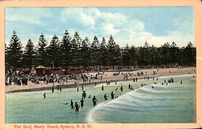
In 1898 the promenade to Fairy Bower was constructed above the sewer line to Cabbage Tree Bay. Originally, Manly Beach was known as Cabbage Tree Beach because of the many cabbage tree palms growing in the area.
The surf lifesaving movement holds huge significance in Manly’s history. After daylight bathing became legal, crowds flocked to Manly’s beaches but not everybody understood the dangers of the surf. Two fisherman (sic), Eddy and Joe Sly, based at Fairy Bower, were the first lifesavers to patrol the beaches in their boat. In 1903 they staged a lifesaving demonstration to raise money for this essential service. Early surf carnivals like this one attracted thousands of visitors.
Further information on Manly’s heritage, including Heritage Walk brochures, is available from Manly Council Chambers, Manly Art Gallery & Museum, Library, Visitors Information Centre and Environment Centre.
celebrating Manly’s unique heitage
Erected by Manly Council.
Topics. This historical marker is listed in these topic lists: Horticulture & Forestry • Sports. A significant historical year for this entry is 1898.
Location. 33° 47.962′ S, 151° 17.467′ E. Marker is in Manly, New South Wales, in Northern Beaches Council. Marker can be reached from Marine Parade, on the left when traveling south. Manly is a suburb of Sydney. Marine Parade is an oceanside walking path cannot be accessed by automobile. The tree referred to on the marker are the Norfolk Island Pine and are not a true pine tree. Touch for map. Marker is at or near this postal address: 17 Marine Parade, Manly NSW 2095, Australia. Touch for directions.
Other nearby markers. At least 2 other markers are within 11 kilometers of this marker, measured as the crow flies. Mrs Macquaries Chair (approx. 9.2 kilometers away); Legacy (approx. 10.2 kilometers away).
Additional keywords. beaches, life saving
Credits. This page was last revised on February 16, 2022. It was originally submitted on December 10, 2013, by Barry Swackhamer of Brentwood, California. This page has been viewed 848 times since then and 30 times this year. Photos: 1, 2, 3. submitted on December 10, 2013, by Barry Swackhamer of Brentwood, California. 4. submitted on December 22, 2013. • Andrew Ruppenstein was the editor who published this page.


