
Metchosin in Capital Region, British Columbia — Canada’s West Coast (North America)
Metchosin Schoolhouse
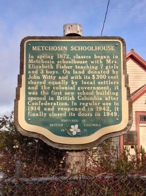
Photographed by Andrew Lester, November 25, 2013
1. Metchosin Schoolhouse Marker
Erected 1971.
Topics. This historical marker is listed in this topic list: Education. A significant historical year for this entry is 1872.
Location. 48° 22.83′ N, 123° 32.01′ W. Marker is in Metchosin, British Columbia, in Capital Region. It is on Happy Valley Road, on the right when traveling west. Touch for map. Marker is at or near this postal address: 4475 Happy Valley Road, Metchosin BC V9C 3Z3, Canada. Touch for directions.

Regionally, it is in North America, on the Ring of Fire, in the Pacific Rim, in the Western Hemisphere, in the Western World, and in the Anglosphere. Historically, it finds itself in what was once a British colony.
Other nearby markers. At least 8 other markers are within 10 kilometers of this
this page online
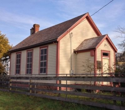
Photographed by Andrew Lester, November 25, 2013
2. Metchosin Schoolhouse
Credits. This page was last revised on June 16, 2016. It was originally submitted on December 21, 2013, by Andrew Lester of Victoria, BC, Canada. This page has been viewed 570 times since then and 19 times this year. Photos: 1, 2. submitted on December 21, 2013, by Andrew Lester of Victoria, BC, Canada. • Andrew Ruppenstein was the editor who published this page.
