Anoka in Anoka County, Minnesota — The American Midwest (Upper Plains)
Bridging the Mississippi
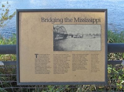
The Mississippi River was an obstacle to overland travelers attempting to cross to the other side. From 1855 to 1884 a flat bottomed cable ferry was maintained between Anoka and Champlin. For a time two ferry companies operated at this crossing and the competition was so fierce that sometimes passengers were offered free passage.
In 1884 a steel bridge was constructed with a swinging center section to permit steamboat travel on the river. Mr. Charles G. Jackson of Anoka was the first person to cross the bridge with a wagon and team of horses. At both ends of the bridge was a sign with bold letters which read, "Five dollar fine for driving or riding across this bridge faster than a walk."
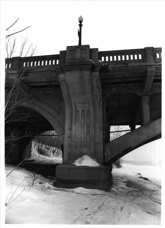
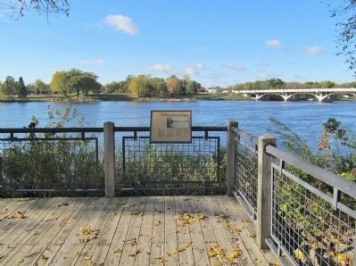
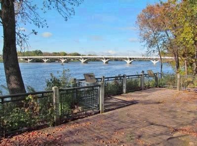
With increasing automobile traffic, this structure was removed in 1929 and replaced by the existing concrete bridge measuring 995 feet in length. This bridge is on the national Register of Historic Places due to its innovative concrete architectural design with long arching spans.
Topics. This historical marker is listed in these topic lists: Bridges & Viaducts • Waterways & Vessels. A significant historical year for this entry is 1884.
Location. 45° 11.488′ N, 93° 23.547′ W. Marker is in Anoka, Minnesota, in Anoka County. Marker can be reached from South Ferry Road, 0.3 miles east of South Ferry Street (U.S. 169). Marker is in Peninsula Point Park. Touch for map. Marker is at or near this postal address: 1460 South Ferry Parkway, Anoka MN 55303, United States of America. Touch for directions.
Other nearby markers. At least 8 other markers are within walking distance of this marker. Where Land and Water Meet (here, next to this marker); River Highways (about 300 feet away, measured in a direct line); Fireman's Grove (about 300 feet away); Where Cultures Meet (about 400 feet away); Logbooms Meet Sawmills (about 500 feet away); Circle of Life (about 600 feet away); Highway of Exploration (about 600 feet away); Who Lived Here / Neighborhood Names / Building a Community (about 800 feet away). Touch for a list and map of all markers in Anoka.
More about this marker. Photo captions:
• Courtesy of the Anoka County Historical Society.
• The first bridge at this site. A section of the bridge pivoted open to allow boats to pass up and down river. Here the steamboat Samson is shown about to pass through the open bridge.
Also see . . .
1. Ferry Street Bridge. John A. Weeks III bridge photography. "This is, bar none, the most elegant and spectacular bridge to cross the mighty Mississippi River." (Submitted on December 22, 2013.)
2. Anoka-Champlin Mississippi River Bridge. Wikipedia entry. (Submitted on December 22, 2013.)

via NPS, unknown
4. Anoka-Champlin Mississippi River Bridge
at NPGallery Digital Asset Management System
Click for more information.
Credits. This page was last revised on March 23, 2023. It was originally submitted on December 22, 2013, by Keith L of Wisconsin Rapids, Wisconsin. This page has been viewed 1,038 times since then and 33 times this year. Last updated on October 21, 2020, by McGhiever of Minneapolis, Minnesota. Photos: 1, 2, 3. submitted on December 22, 2013, by Keith L of Wisconsin Rapids, Wisconsin. 4. submitted on March 23, 2023, by Larry Gertner of New York, New York. • Mark Hilton was the editor who published this page.


