Near Lancaster in Lancaster County, South Carolina — The American South (South Atlantic)
Memorials and Archaeology
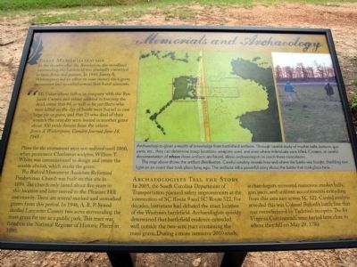
Early Memorialization
In the decades after the Revolution, the woodland surrounding the battlefield was gradually converted to farm fields and pasture. In 1845, James A. Witherspoon led an effort to raise money for a grave monument and recorded several first-hand accounts.
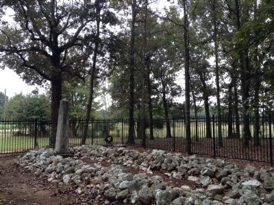
"Mr. Usher whose father, in company with the Rev. Jacob Carnes, and others assisted in burying the dead, states that 84, as well as he recollects who were killed on the day of battle were buried in one large pit or grave, and that 25 who died of their wounds the next day were buried in another grave about 300 yards distant from the others.
James A. Witherspoon, Camden Journal, June 18, 1845
Plans for the monument were not realized until 1860, when prominent Charleston sculptor, William T. White, was commissioned to design and create the marble obelisk, which marks the grave.
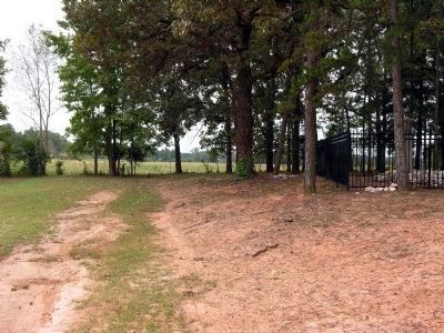
The Buford Monument Associate Reformed Presbyterian Church was built on this site in 1894. The church only lasted about five years in this location and later moved to the Pleasant Hill community. There are several marked and unmarked graves from this period. In 1946, A.R.P. Synod deeded Lancaster County two acres surrounding the mass grave for use as a public park. This tract was listed on the National Register of Historic Places in 1990.
Archaeologists Tell the Story
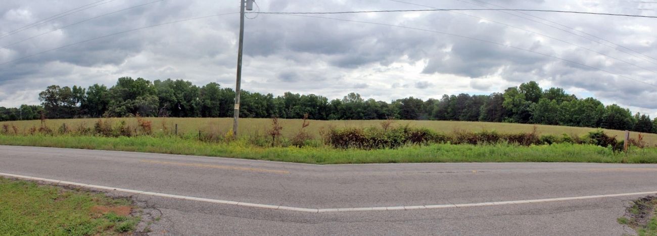
In 2005, the South Carolina Department of Transportation planned safety improvements at the intersection of SC Route 9 and SC Route 522. For decades, historians had debated the exact location of the Waxhaws battlefield. Archaeologists quickly determined that battlefield evidence extended well outside the two-acre tract containing the mass grave. During a more intensive 2010 study, archaeologists recovered numerous musket balls, gun parts, and uniform accoutrements extending from this area east across SC 522. Careful analysis revealed this was Colonel Buford's battle line that was overwhelmed by Tarleton's troopers. The 84 Virginia Continentals were buried here close to where they fell on May 29, 1780.
(Map and Photo Caption)
Archaeologists glean a wealth of knowledge from battlefield artifacts. Through careful study of musket balls, buttons, gun parts, etc., they can determine troop locations, weapons used, and even where individuals were killed. Context, or careful documentation of where these artifacts were found, allows archaeologists to reach these conclusions.
The map above shows the artifact distribution. Careful scrutiny reveals how and where the battle was fought, shedding new light on an event that took place long ago. These artificats tell a powerful story
about the battle that took place here.
Topics. This historical marker is listed in this topic list: War, US Revolutionary. A significant historical date for this entry is May 29, 1780.
Location. 34° 44.527′ N, 80° 37.562′ W. Marker is near Lancaster, South Carolina, in Lancaster County. Marker can be reached from Rocky River Road (State Highway 522) 0.1 miles south of Pageland Highway (State Highway 9), on the right when traveling south. Marker is located at Buford Battleground County Park. Touch for map. Marker is in this post office area: Lancaster SC 29720, United States of America. Touch for directions.
Other nearby markers. At least 8 other markers are within walking distance of this marker. Disaster in South Carolina (a few steps from this marker); Buford Battleground (within shouting distance of this marker); Buford's Defeat (within shouting distance of this marker); Battle of the Waxhaws: Massacre or Myth? (within shouting distance of this marker); Buford's Massacre (within shouting distance of this marker); Honoring The Fallen (within shouting distance of this marker); Buford Monument (within shouting distance of this marker); Buford's Bloody Battleground (about 700 feet away, measured in a direct line).
More about this marker. The marker is the fourth of four markers that interpret Buford's Massacre and preservation of the site.
Also see . . .
1. Battle of Waxhaws (aka Buford's Massacre) - Wikipedia entry. (Submitted on February 3, 2014.)
2. Buford's Massacre (Waxhaws) Revolutionary War Battlefield. A February 2011 report on the "Metal Detector Survey and Battlefield Delineation of the Buford's Massacre (Waxhaws) Revolutionary War Battlefield, SC Route 9 and SC Route 522 Intersection Improvements." (Submitted on February 3, 2014.)
Credits. This page was last revised on September 7, 2023. It was originally submitted on February 3, 2014, by Duane Hall of Abilene, Texas. This page has been viewed 672 times since then and 17 times this year. Photos: 1. submitted on February 3, 2014, by Duane Hall of Abilene, Texas. 2. submitted on July 1, 2016, by David Graff of Halifax, Nova Scotia. 3, 4, 5. submitted on February 3, 2014, by Duane Hall of Abilene, Texas. 6. submitted on July 1, 2016, by David Graff of Halifax, Nova Scotia.
