Potomac in Montgomery County, Maryland — The American Northeast (Mid-Atlantic)
Great Falls Tavern
Chesapeake and Ohio National Historical Park
— National Park Service, U.S. Department of the Interior —
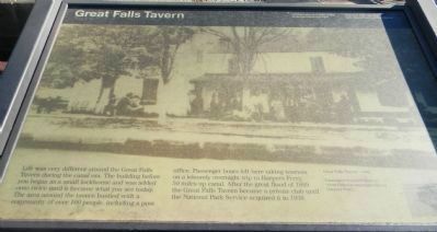
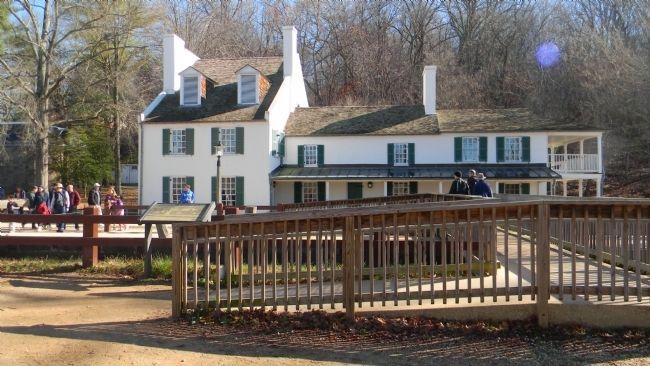
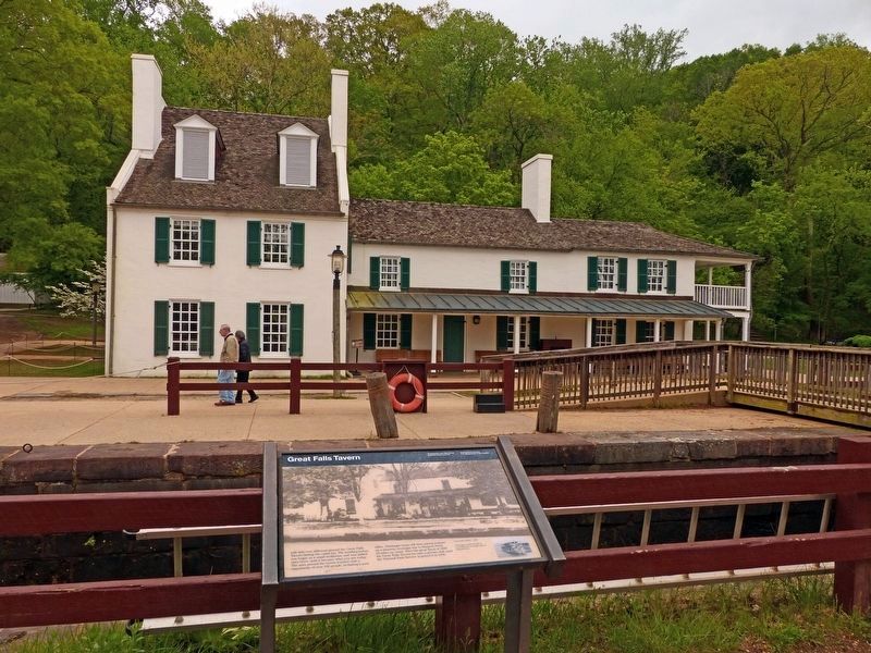
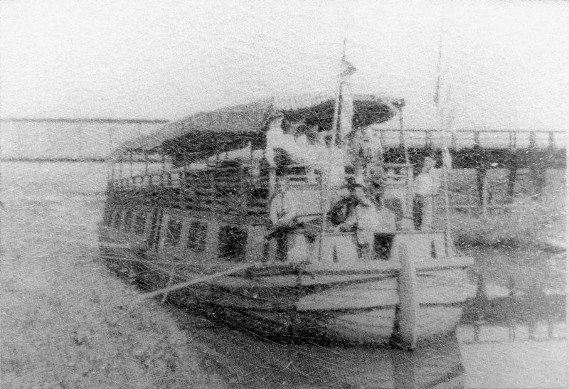
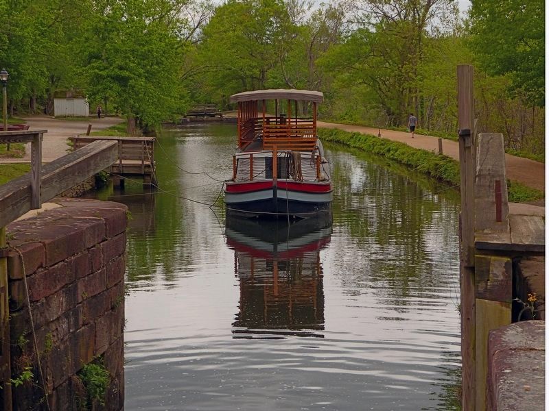
Life was very different around the Great Falls Tavern during the canal era. The building before you began as a small lockhouse and was added onto twice until it became what you see today. The area around the tavern bustled with a community of over 100 people including a post office. Passenger boats left here taking tourists on a leisurely overnight trip to Harpers Ferry, 50 miles up canal. After the great flood of 1889 the Great Falls Tavern became a private club until the National Park Service acquired it in 1938.
[Caption:]
Great Falls Tavern – 1889: Passengers boarded boats at Great Falls for overnight trips to Harpers Ferry.
Erected by National Park Service, U.S. Department of the Interior/National Capital Sesquicentennial Commission.
Topics and series. This historical marker is listed in these topic lists: African Americans • Industry & Commerce • Notable Buildings • Waterways & Vessels. In addition, it is included in the Chesapeake and Ohio (C&O) Canal series list. A significant historical year for this entry is 1889.
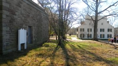
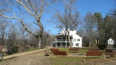
Location. 39° 0.016′ N, 77° 14.91′ W. Marker is in Potomac, Maryland, in Montgomery County. Marker is on C&O Canal Tow Path west of MacArthur Blvd./Great Falls Road Climb . Marker Panel 1 is on the opposite side of the tow path, southeast of the Great Falls Tavern-Visitors Center. Marker Panel 2 is on the exterior wall at the main entrance to the Tavern-Visitors Center. Touch for map. Marker is at or near this postal address: 11710 MacArthur Blvd, Potomac MD 20854, United States of America. Touch for directions.
Other nearby markers. At least 8 other markers are within walking distance of this marker. A different marker also named Great Falls Tavern (within shouting distance of this marker); Washington Aqueduct (within shouting distance of this marker); Welcome to Great Falls (about 300 feet away, measured in a direct line); Creating a National Park (about 400 feet away); A Geologic Barrier (about 700 feet away); Fighting Floods (about 700 feet away); Olmsted Island (approx. 0.3 miles away); People and the Potomac (approx. 0.4 miles away in Virginia). Touch for a list and map of all markers in Potomac.
Also see . . . Great Falls Tavern Vistior Center. (Submitted on November 26, 2011, by Richard E. Miller of Oxon Hill, Maryland.)
Additional keywords. Henry Williams, canal boat captain; Washington Aqueduct.
Photographed By Richard E. Miller, April 1, 2012
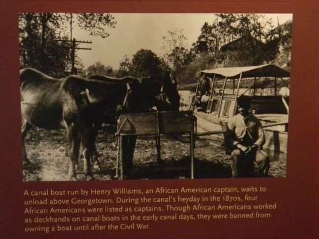
8. One of several historical photos on display inside the Great Falls Tavern Museum
A canal boat run by Henry Williams, an African American captain, awaits to unload above Georgetown. During the canal's heyday in the 1870s, four African Americans were listed as captains. Though African Americans worked as deckhands on canal boats during the early days, they were banned from owning a boat until after the Civil War.
Credits. This page was last revised on November 23, 2020. It was originally submitted on November 26, 2011, by Richard E. Miller of Oxon Hill, Maryland. This page has been viewed 869 times since then and 31 times this year. Last updated on February 5, 2014, by Richard E. Miller of Oxon Hill, Maryland. Photos: 1, 2, 3, 4. submitted on November 26, 2011, by Richard E. Miller of Oxon Hill, Maryland. 5, 6, 7. submitted on April 27, 2017, by Allen C. Browne of Silver Spring, Maryland. 8. submitted on February 5, 2014, by Richard E. Miller of Oxon Hill, Maryland. • Bill Pfingsten was the editor who published this page.
