Near Packwood in Lewis County, Washington — The American West (Northwest)
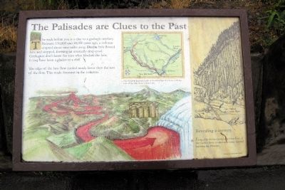
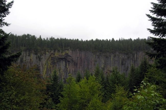
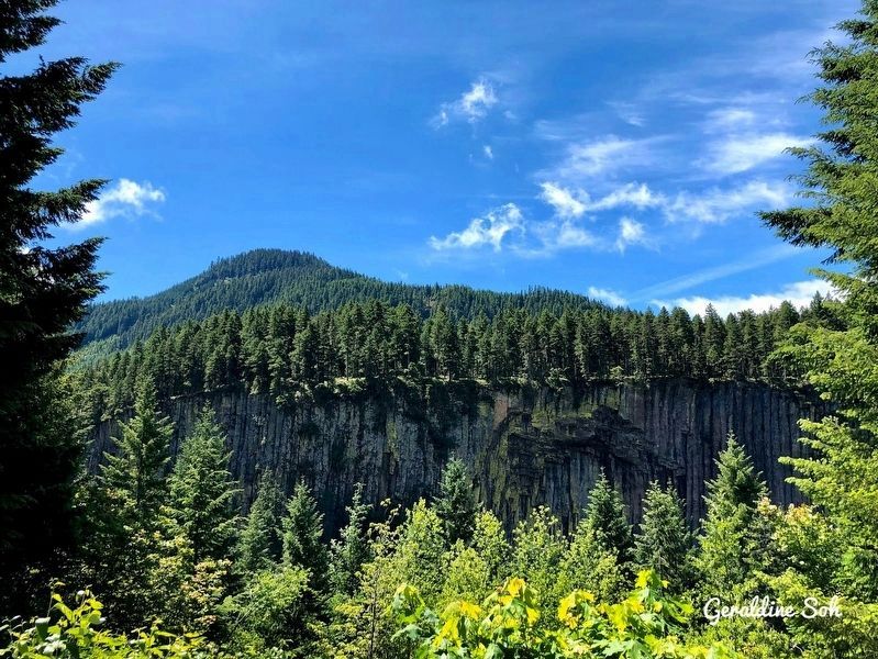
The Palisades are Clues to the Past
The edge of the lava flow cooled much faster than the rest of the flows. This made fractures in the columns.
(Map Caption)
Map showing the general path of the dacite lava flow from a volcano vent on the ridge above Coyote Lake.
(Right Drawing Caption)
Revealing a mystery
Long after the lava cooled, the Clear Fork of the Cowlitz River scoured away softer material, exposing the Palisades.
Topics. This historical marker is listed in this topic list: Natural Features.
Location. 46° 41.03′ N, 121° 32.959′ W. Marker is near Packwood, Washington, in Lewis County. Marker can be reached from U.S. 12, 0.1 miles east of Forest Service Road 1276, on the right when traveling east. Marker is located at the Palisades Viewpoint scenic pullout. Touch for map. Marker is in this post office area: Packwood WA 98361, United States of America. Touch for directions.
Other nearby markers. At least 6 other markers are within 12 miles of this marker, measured as the crow flies. Traveling Over the Cascades: Past and Present (within shouting distance of this marker); Packwood (approx. 7.9 miles away); The Story of Kloochman Rock (approx. 9.6 miles away); Inspired to Preserve (approx. 11.2 miles away); Paradise Inn (approx. 11.3 miles away); An Ancient Community (approx. 11.3 miles away).
Credits. This page was last revised on November 25, 2019. It was originally submitted on February 10, 2014, by Duane Hall of Abilene, Texas. This page has been viewed 523 times since then and 16 times this year. Photos: 1, 2. submitted on February 10, 2014, by Duane Hall of Abilene, Texas. 3. submitted on November 22, 2019, by Geraldine Soh of Edmonton, Alberta.
Editor’s want-list for this marker. Photo of wide-view of marker and surroundings. • Can you help?


