Capitol Hill in Northeast Washington in Washington, District of Columbia — The American Northeast (Mid-Atlantic)
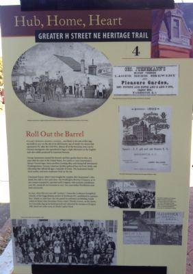
Roll Out the Barrel
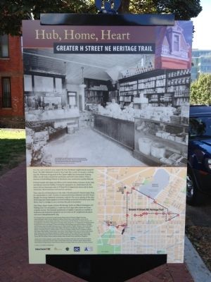
Hub, Home, Heart
— Greater H Street NE Heritage Trail —
Stuart-Hobson Middle School, one block to the east of this sign, was built in 1927 on the site of an old brewery, one of nearly two dozen that operated in DC after the Civil War. Almost all of the breweries were run by German immigrants who specialized in lager, a light alternative to the English-style ales widely produced by American brewers.
George Juenemann opened his brewery and beer garden here in 1857, ten years after he came to the United States. For nearly 30 years Juenemann's Mount Vernon lager, dance pavilion, bowling alley, and dining hall entertained Washingtonians. German American families gathered here for food, drink, and fellowship that offered all ages a reminder of home. The Juenemann family lived nearby, and some employees lived on the site.
Cincinnati brewer Albert Carry bought the complex after Juenemann's 1884 death, but sold it a few years later. The Washington Brewery Company, as its new owners renamed it, operated until Congress, with exclusive jurisdiction over DC, closed all city breweries in 1917, two years before Prohibition took hold nationwide.
In 1830, when this area was still "country," Concordia (Lutheran Evangelical) Church, of the Foggy Bottom section of Northwest DC, established its cemetery here. Nearly 30 years later, the city passed an ordinance prohibiting burials within its limits (then Boundary Street, today's Florida Avenue, on the north). So Concordia dug up its burial ground and relocated the remains to Prospect Hill, about two miles away on North Capital Street.
Erected 2012 by Cultural Tourism DC. (Marker Number 4.)
Topics and series. This historical marker is listed in these topic lists: Entertainment • Industry & Commerce • Notable Places. In addition, it is included in the Greater H Street Heritage Trail series list. A significant historical year for this entry is 1927.
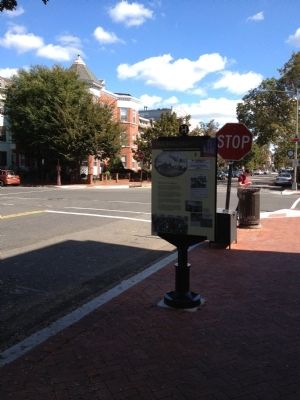
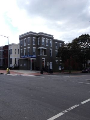
Location. 38° 53.836′ N, 77° 0.133′ W. Marker is in Northeast Washington in Washington, District of Columbia. It is in Capitol Hill. Marker is at the intersection of F Street Northeast and 3rd Street Northeast, on the right when traveling east on F Street Northeast. Touch for map. Marker is at or near this postal address: 538 3rd Street Northeast, Washington DC 20002, United States of America. Touch for directions.
Other nearby markers. At least 8 other markers are within walking distance of this marker. Swampoodle (about 300 feet away, measured in a direct line); Gateway to The Nation's Capital (about 800 feet away); Community Caretakers (approx. 0.2 miles away); Cathy Hughes (approx. 0.2 miles away); The Freedom Bell (approx. ¼ mile away); Christopher Columbus (approx. ¼ mile away); Delaware Avenue & Columbus Circle, NE (approx. ¼ mile away); Sanctuaries (approx. 0.3 miles away). Touch for a list and map of all markers in Northeast Washington.
Credits. This page was last revised on January 30, 2023. It was originally submitted on September 30, 2012, by Craig Swain of Leesburg, Virginia. This page has been viewed 642 times since then and 28 times this year. Last updated on February 11, 2014, by A. Taylor of Laurel, Maryland. Photos: 1, 2, 3, 4, 5. submitted on September 30, 2012, by Craig Swain of Leesburg, Virginia. • Bill Pfingsten was the editor who published this page.
