San Leandro in Alameda County, California — The American West (Pacific Coastal)
Chabot Dam
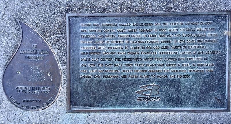
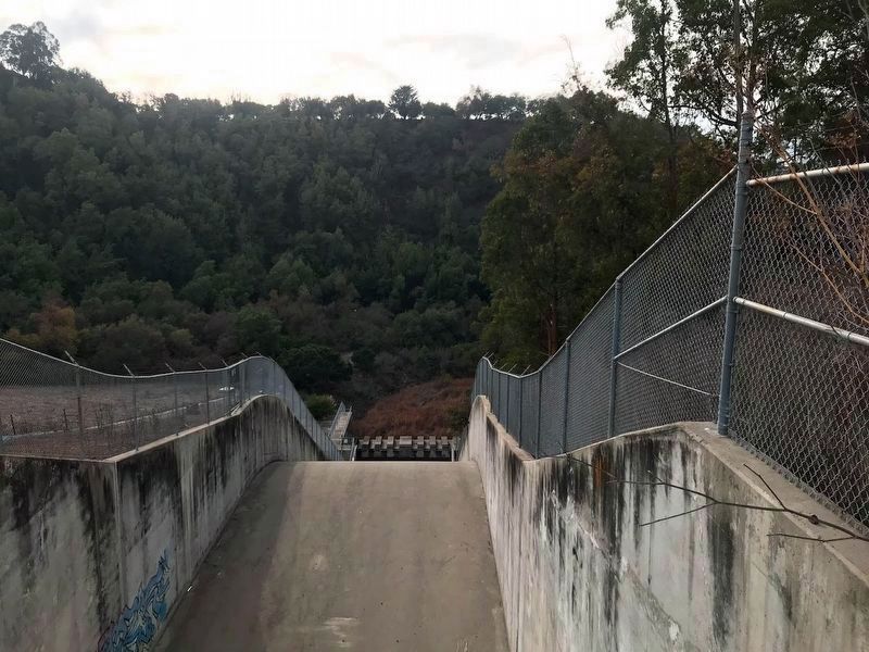
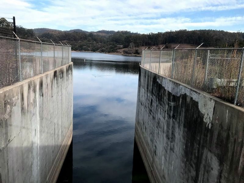
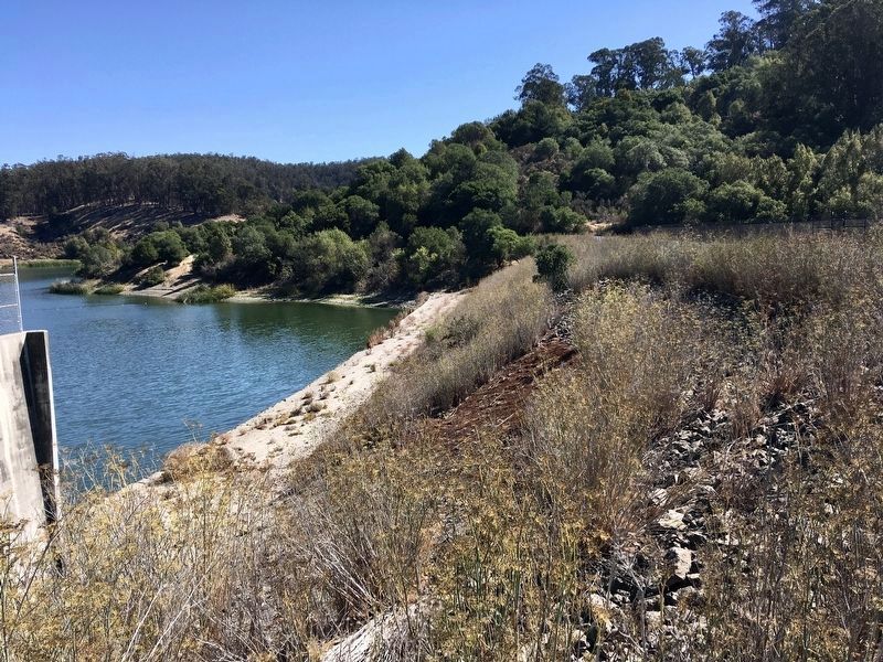
Chabot Dam, originally called San Leandro Dam, was built by Anthony Chabot who started Contra Coast Water Company in 1868. When artesian wells and Temescal and Sausal Creeks failed to bring Oakland and surrounding cities enough water he decided to dam San Leandro Creek. In 1874 some 800 Chinese laborers were imported to sluice in 682,000 cubic yards of earth fill. Wild horses brought from Oregon trampled successive layers of San Leandro Dam’s clay center. The reservoir’s water first flowed into pipelines in May 1876. The East Bay’s first filter plant was added in 1890. In December 1928 East Bay Municipal Utility District acquired the facilities renaming them Chabot Dam, Reservoir, and Filter Plant, to honor the pioneer.
An American Water Landmark. Significant in the history of public water supply. Designated by American Water Works Association.
Erected by East Bay Municipal Utility District.
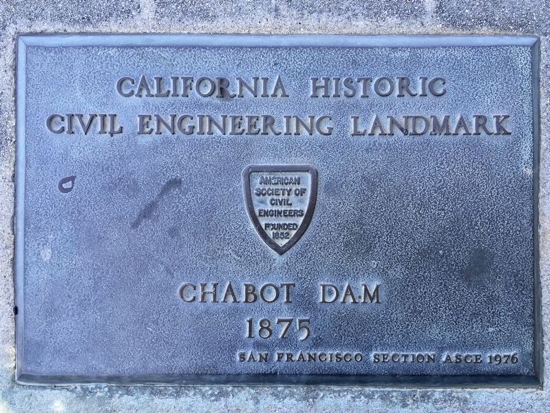
Topics and series. This historical marker is listed in these topic lists: Charity & Public Work • Waterways & Vessels. In addition, it is included in the ASCE Civil Engineering Landmarks series list. A significant historical month for this entry is May 1876.
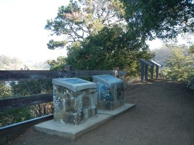
Location. 37° 43.794′ N, 122° 7.238′ W. Marker is in San Leandro, California, in Alameda County. Marker can be reached from Estudillo Avenue. Touch for map. Marker is at or near this postal address: 1799 Estudillo Avenue, San Leandro CA 94577, United States of America. Touch for directions.
Other nearby markers. At least 8 other markers are within walking distance of this marker. Transporting the Water (a few steps from this marker); To Build a Dam (a few steps from this marker); Of Fins and Flippers (about 300 feet away, measured in a direct line); Taming the Waters’ Flow (about 600 feet away); Yem-Po: Chinese Labor Camp (approx. 0.2 miles away); Tunnel No. 1 Control Shaft (approx. 0.2 miles away); A Zoo, a Monkey, and a Mansion Here Too! (approx. 0.2 miles away); Filtration Basins (approx. 0.4 miles away). Touch for a list and map of all markers in San Leandro.
More about this marker. The one mile Lake Chabot Historical Walk begins at the parking lot at the end of Estudillo Avenue. This marker is about one mile from the beginning of the trail, up a moderate hill.
Credits. This page was last revised on October 14, 2021. It was originally submitted on February 13, 2014, by Barry Swackhamer of Brentwood, California. This page has been viewed 1,068 times since then and 82 times this year. Photos: 1, 2. submitted on October 14, 2021, by Craig Baker of Sylmar, California. 3. submitted on February 13, 2014, by Barry Swackhamer of Brentwood, California. 4, 5. submitted on November 25, 2020, by Diane Phillips of Pittsburg, California. 6. submitted on October 13, 2021, by Craig Baker of Sylmar, California. • Syd Whittle was the editor who published this page.
