Clio in Barbour County, Alabama — The American South (East South Central)
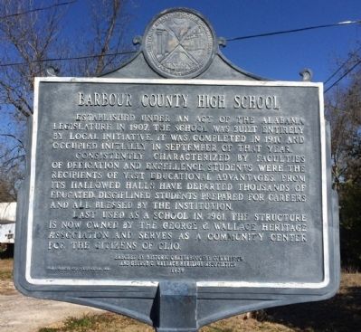
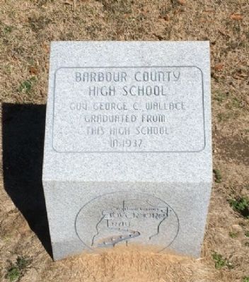
Barbour County High School
Consistently characterized by faculties of dedication and excellence, students were the recipients of vast educational advantages. From its hallowed halls have departed thousands of educated, disciplined students prepared for careers and all blessed by the institution.
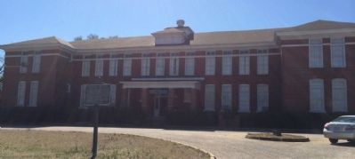
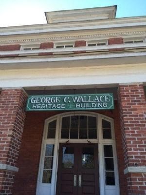
Last used as a school in 1961, the structure is now owned by the George C. Wallace Heritage Association and serves as a community center for the citizens of Clio.
Erected 1979 by the Historic Chattahoochee Commission and the George C. Wallace Heritage Association.
Topics. This historical marker is listed in this topic list: Education. A significant historical year for this entry is 1907.
Location. 31° 42.477′ N, 85° 36.76′ W. Marker is in Clio, Alabama, in Barbour County. Marker is on Hunt Street, 0.1 miles south of Brundidge Street (Alabama Route 10), on the left when traveling south. Touch for map. Marker is at or near this postal address: 12 Hunt Street, Clio AL 36017, United States of America. Touch for directions.
Other nearby markers. At least 8 other markers are within 7 miles of this marker, measured as the crow flies. Clio Heritage Mural (about 700 feet away, measured in a direct line); Clio, Alabama (about 700 feet away); Dedicated to Memory of African Slaves (approx. 2.2 miles away); Pea River Presbyterian Church Cemetery (approx. 2.2 miles away); Barbour County's "Little Scotland"/Pea River Presbyterian Church (approx. 2.2 miles away); Veterans Memorial (approx. 4 miles away); Louisville World War II Memorial (approx. 5.8 miles away); Fire Bell (approx. 6.2 miles away). Touch for a list and map of all markers in Clio.
Credits. This page was last revised on June 16, 2016. It was originally submitted on February 17, 2014, by Mark Hilton of Montgomery, Alabama. This page has been viewed 957 times since then and 47 times this year. Photos: 1, 2, 3, 4, 5. submitted on February 17, 2014, by Mark Hilton of Montgomery, Alabama. • Bernard Fisher was the editor who published this page.
