Near Boise in Ada County, Idaho — The American West (Mountains)
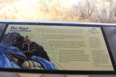
The Hunt Expedition
Astorís overland party numbered 65 people under the leadership of Wilson Price Hunt. Huntís party reached the Henryís Fork drainage in eastern Idaho in October 1811 and proceeded to build canoes. They planned to float the Snake River down to the Columbia River and then to Fort Astoria.
The voyage proved extremely difficult. The party encountered dangerous rapids that capsized canoes and supplies. After a man drowned in rapids near present-day Milner Dam, Hunt realized a river passage was not possible. With little food left and winter upon them, the expedition split into three parties and headed overland.
Each party endured great hardships and nearly starved. They survived due to the assistance provided by Shoshone, Nez Perce, and Cayuse Indians who sold them horses and food, and provided directions. By February 16, 1812, all the parties had reached Fort Astoria. Portions of the overland trails followed by the Astorians were later used by westward bound emigrants.
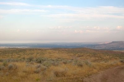
Huntís group followed the north bank of the Snake River until they were advised by Indians to leave the river and travel in a northwest direction. On November 21, 1811, acting on their advice, Huntís group became the first Euro-Americans to view the Boise River Valley.
”... at sunrise, we saw before us a river which flowed westerly. Its shores were fringed with cottonwoods and willows. Some Indians had established their camp there. They had many horses, and were better clad than those we had seen previously. They inform us that beaver are common farther up in this small river. Very few of them are in the neighborhood of the camp...”
--Diary of Wilson Price Hunt, 1811
Topics. This historical marker is listed in these topic lists: Exploration • Industry & Commerce. A significant historical month for this entry is February 1864.
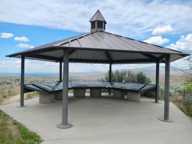
Location. 43° 29.516′ N, 116° 2.44′ W. Marker is near Boise, Idaho, in Ada County. Marker can be reached from S. Upper Blacks Creek Road, 1.3 miles north of E. Blacks Creek Road. Marker is located at the Bonneville Point interpretive site along the route of the Oregon Trail at the end of S. Upper Blacks Creek Road. Touch for map. Marker is in this post office area: Boise ID 83716, United States of America. Touch for directions.
Other nearby markers. At least 8 other markers are within 4 miles of this marker, measured as the crow flies. The Fur Trade and the Tide of Emigration (here, next to this marker); The Shoshone and Northern Paiute (here, next to this marker); Captain Bonneville (a few steps from this marker); Bonneville Point (a few steps from this marker); Site 10 ★ Blacks Creek Road Crossing (approx. 1.1 miles away); The Foote Legacy in Idaho (approx. 2.6 miles away); Basque Country (approx. 3.4 miles away); Oregon Trail (approx. 3Ĺ miles away). Touch for a list and map of all markers in Boise.
Credits. This page was last revised on November 2, 2018. It was originally submitted on February 17, 2014, by Duane Hall of Abilene, Texas. This page has been viewed 1,140 times since then and 105 times this year. Photos: 1. submitted on February 17, 2014, by Duane Hall of Abilene, Texas. 2. submitted on November 2, 2018, by Barry Swackhamer of Brentwood, California. 3. submitted on February 17, 2014, by Duane Hall of Abilene, Texas.
Editor’s want-list for this marker. Photo of wide-view of marker and surroundings. • Can you help?


