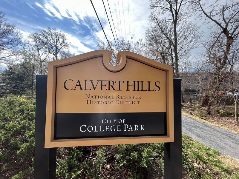
Calvert Hills in College Park in Prince George's County, Maryland — The American Northeast (Mid-Atlantic)
Calvert Hills: A National Register Historic District
City of College Park
— “ATHA” Anacostia Trails Heritage Area —
Inscription.
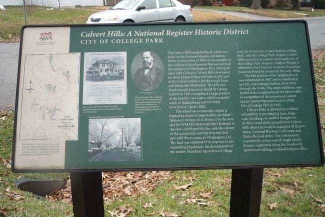
The Calvert Hills neighborhood, which was listed on the National Register of Historic Places in December of 2003, is an example of the residential development that occurred on the outskirts of Washington, D.C. during the early 20th Century. Calvert Hills developed on rural property that was historically part of the Calvert family’s Rossborough Farm and Riversdale Plantation. The 428-acre Rossborough Farm purchased by George Calvert in 1822, comprised a large portion of the family’s vast estate, which extended south to Bladensburg and included present-day Calvert Hills.
The suburban community, which is framed by major transportation corridors – Baltimore Avenue (U.S. Route 1) to the west and the WMATA Metrorail/B&O Railroad to the east – developed further with the advent of the automobile and the streetcar that provided direct access to Washington, D.C. The land was subdivided in response to the expanding population, the development of the nearby Maryland Agricultural College (now the University of Maryland at College Park), and the College Park Airport. Calvert Hills was home to aviators and employees of the College Park Airport – Wilbur Wright is believed to have leased a room in a boarding house on Bowdoin Avenue in the early 1900s.
The first portion of the neighborhood was subdivided in 1907 and re-subdivided in 1921, and and enlarged further, from 1928 through the 1940s. The many additions were joined as the neighborhood of Calvert Hills in recognition of the prominent Calvert family and incorporated as part of the City of College Park in 1945.
Calvert Hills is defined by a variety of building types ranging from large scale dwellings to smaller bungalows. Architectural styles presented in Calvert Hills illustrate modest examples of Queen Anne, Colonial Revival, Craftsman and Tudor Revival styles. The community is primarily comprised of single-family houses, supported along the borders by apartment buildings, a school and post office.
[Captions:]
The Sides Map of 1853 shows the “Riversdale Desmense,” including the future Calvert Hills Area. The brick barn, highlighted in the north-central portion of the map, is the Calvert Barn, also known as the “Old Parish House.” Image courtesy of the University of Maryland, Marylandia Collection
Advertisement for homes in the Calvert Hills neighborhood that features a house built in 1912 on Guilford Road. Image courtesy of Bob & Kathy Baer
Charles Benedict Calvert inherited Rossborough Farm upon the death of his parents Rosalie and George Calvert. He maintained the Calvert land and subsequently purchased his sibling’s interests in the property.
Erected 2012 by Maryland Milestones & Anacostia Trails Heritage Area, Inc. (ATHA).
Topics and series. This historical marker is listed in these topic lists: Education • Political Subdivisions • Railroads & Streetcars. In addition, it is included in the National Register of Historic Places series list. A significant historical month for this entry is December 2003.
Location.
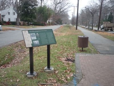
38° 58.308′ N, 76° 56.039′ W. Marker is in College Park, Maryland, in Prince George's County. It is in Calvert Hills. Marker is at the intersection of Rhode Island Avenue and Albion Avenue, in the median on Rhode Island Avenue. Touch for map. Marker is at or near this postal address: 6701 Rhode Island Ave, College Park MD 20740, United States of America. Touch for directions.
Other nearby markers. At least 8 other markers are within walking distance of this marker. Trolley (about 400 feet away, measured in a direct line); Riversdale Plantation (approx. ¼ mile away); MacAlpine Icehouse (approx. ¼ mile away); MacAlpine Farm (approx. ¼ mile away); ERCO and Calvert Homes (approx. ¼ mile away); ERCO (approx. 0.3 miles away); Native American History (approx. 0.3 miles away); In Recognition of Rose Greene Colby (approx. half a mile away).
Related marker. Click here for another marker that is related to this marker. To better understand the relationship, study each marker in the order shown.
Also see . . . Calvert Hills Historic District. (PDF) CPG-66-37, Roughly bounded by Calvert Road, Bowdoin Avenue, Erskine Road, Calvert Park, Albion Road, and Baltimore Avenue. National Register of Historic Places Registration Form. (Submitted on May 29, 2018, by Allen C. Browne of Silver Spring, Maryland.)
Additional keywords. Trolley Trail Calvert Hills: A National Register Historic District

Photographed By Devry Becker Jones (CC0), March 22, 2023
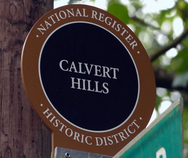
4. National Register of Historic Places plaque for the Historic District
This marker was erected by the City of College Park.
Credits. This page was last revised on March 22, 2023. It was originally submitted on January 28, 2014, by Richard E. Miller of Oxon Hill, Maryland. This page has been viewed 612 times since then and 52 times this year. Last updated on February 18, 2014, by Richard E. Miller of Oxon Hill, Maryland. Photos: 1, 2. submitted on January 28, 2014, by Richard E. Miller of Oxon Hill, Maryland. 3. submitted on May 29, 2018, by Allen C. Browne of Silver Spring, Maryland. 4. submitted on March 22, 2023, by Devry Becker Jones of Washington, District of Columbia. • Bill Pfingsten was the editor who published this page.


