Near Pine Grove in Amador County, California — The American West (Pacific Coastal)
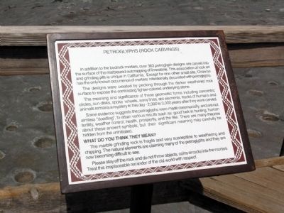
Petroglyphs (Rock Carvings)
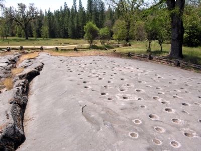
The designs were created by pecking through the darker weathered rock surface to expose the contrasting lighter-colored underlying stone.
The meaning and significance of these geometric forms including concentric circles, sun-disks, spoke wheels, wavy lines, dot elements, tracks of humans and animals remains a mystery to this day - 2,000 to 3,000 years after they were carved.
Some evidence suggests the petroglyphs were made ceremonially, and are not aimless “doodling”, to attain various results such as: good luck in hunting, human fertility, weather control, health, prosperity, and the like. There are many theories about these ancient symbols, but their significant meaning may carefully be hidden from the uninitiated.
WHAT DO YOU THINK THEY MEAN?
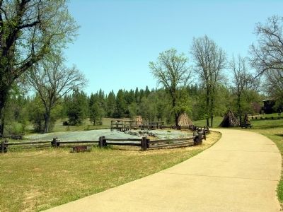
The marble grinding rock is fragile and very susceptible to weathering and chipping. The natural elements are claiming many of the petroglyphs and they are now becoming difficult to see.
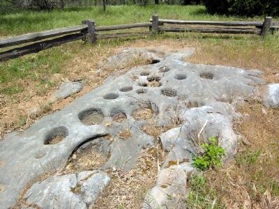
Please stay off the rock and do not throw objects, coins or rocks into the mortars. Treat this irreplaceable reminder of the old world with respect.
Topics. This historical marker is listed in these topic lists: Arts, Letters, Music • Native Americans.
Location. 38° 25.463′ N, 120° 38.561′ W. Marker is near Pine Grove, California, in Amador County. Marker can be reached from Pine Grove Volcano Road, 0.3 miles north of Bryson Lane. Marker is located in Indian Grinding Rock State Historic Park; the above directions are to the intersection of Pine Grove Volcano Road and the park entrance. Touch for map. Marker is in this post office area: Pine Grove CA 95665, United States of America. Touch for directions.
Other nearby markers. At least 8 other markers are within 2 miles of this marker, measured as the crow flies. Chaw'se (here, next to this marker); Hun'ge (about 300 feet away, measured in a direct line); Chaw Sé Roundhouse (about 400 feet away); Pine Grove (approx. 1.2 miles away); Volcano Masonic Cave (approx. 1.3 miles away); Moose Milk (approx. 1.4 miles away); St. George Hotel (approx. 1.4 miles away); General Store (approx. 1.4 miles away). Touch for a list and map of all markers in Pine Grove.
More about this marker. Marker may reached by a 1/4 mile trail from the parking area to the marker.
Also see . . .
Indian Grinding Rock State Historic Park. Official California State Parks website. (Submitted on February 21, 2014.)
Credits. This page was last revised on June 16, 2016. It was originally submitted on February 21, 2014, by Duane Hall of Abilene, Texas. This page has been viewed 532 times since then and 26 times this year. Photos: 1, 2, 3, 4. submitted on February 21, 2014, by Duane Hall of Abilene, Texas.


