Kailua-Kona in Hawaii County, Hawaii — Hawaiian Island Archipelago (Pacific Ocean)
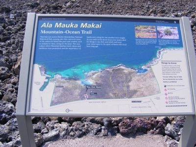
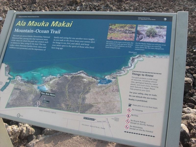
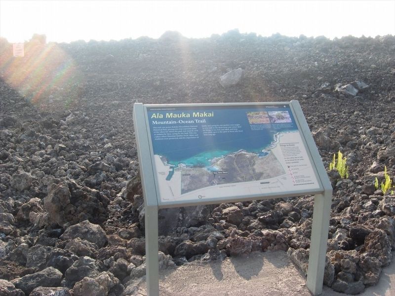
Ala Mauka Makai
Mountain-Ocean Trail
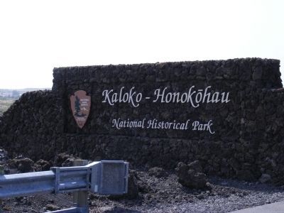
— Kaloko-Honokohau National Historical Park —
Captions:
Remnants of the more recent past, like this animal pen wall, and more distant past, like a temple platform, are both found along this trail.
On Ala Mauk Makai you will pass areas where park managers are restoring native plants like this naio (Myoporum sandwicense).
Erected by National Park Service, United States Department of the Interior.
Topics. This historical marker is listed in this topic list: Landmarks.
Location. 19° 40.716′ N, 156° 1.302′ W. Marker is in Kailua-Kona, Hawaii, in Hawaii County. Marker is on Queen Kaahumanu Highway (SR 19). This marker is near the Visitor Center. Touch for map. Marker is in this post office area: Kailua Kona HI 96740, United States of America. Touch for directions.
Other nearby markers. At least 8 other markers are within 4 miles of this marker , measured as the crow flies. Discovering Kaloko-Honokohau (here, next to this marker); A Sanctuary for Humpback Whales (here, next to this marker); Honokohau Settlement (approx. 0.6 miles away); Kamakahonu (approx. 3.1 miles away); Kamakahonu / Kailua Pier (approx. 3.1 miles away); Ahu'ena Heiau (approx. 3.1 miles away); Niumalu Beach / Kailua Bay (approx. 3.2 miles away); Mokuaikaua Church (approx. 3.2 miles away). Touch for a list and map of all markers in Kailua-Kona.
Credits. This page was last revised on January 17, 2022. It was originally submitted on February 26, 2014, by Don Morfe of Baltimore, Maryland. This page has been viewed 528 times since then and 17 times this year. Photos: 1. submitted on February 26, 2014, by Don Morfe of Baltimore, Maryland. 2. submitted on January 11, 2022, by Adam Margolis of Mission Viejo, California. 3. submitted on February 26, 2014, by Don Morfe of Baltimore, Maryland. 4. submitted on January 11, 2022, by Adam Margolis of Mission Viejo, California. 5. submitted on February 26, 2014, by Don Morfe of Baltimore, Maryland. • Bill Pfingsten was the editor who published this page.
