Teaneck in Bergen County, New Jersey — The American Northeast (Mid-Atlantic)
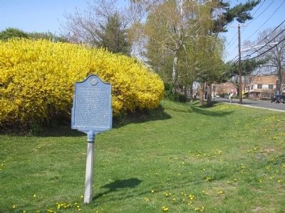
Revolutionary War Encampment – 1780
Troops of the American army camped in this vicinity from August 22 to September 3, 1780, in order to forage for food and horses. The encampment extended to the north and east of Teaneck Road for about two miles. Situated near British-held New York City and mindful of enemy danger, General George Washington urged his men to display “that conduct, fortitude and bravery which ought to distinguish troops fighting for their country”.
Sponsored by Holy Name Hospital 1975
Erected 1975 by Bergen County Historical Society. (Marker Number 53.)
Topics and series. This historical marker is listed in this topic list: War, US Revolutionary. In addition, it is included in the New Jersey, Bergen County Historical Society series list. A significant historical month for this entry is September 1677.
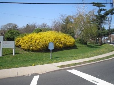
Location. 40° 53.033′ N, 74° 0.467′ W. Marker is in Teaneck, New Jersey, in Bergen County. Marker is at the intersection of Teaneck Road and Cedar Lane, on the right when traveling south on Teaneck Road. Marker is near the entrance to Holy Name Hospital. Touch for map. Marker is in this post office area: Teaneck NJ 07666, United States of America. Touch for directions.
Other nearby markers. At least 8 other markers are within 2 miles of this marker, measured as the crow flies. Brinkerhoff-Demarest House (approx. 0.6 miles away); Van Horne’s Grist Mill (approx. 1.3 miles away); English Neighborhood Road (approx. 1.4 miles away); Vreeland House (approx. 1.4 miles away); “Achter Col” Colony (approx. 1.4 miles away); Dutch Reformed Church (approx. 1˝ miles away); Days Tavern (approx. 1.6 miles away); De Mott – Westervelt House (approx. 1.6 miles away).
Also see . . . Bergen County Historical Society. Society website homepage (Submitted on April 20, 2008, by Bill Coughlin of Woodland Park, New Jersey.)
Credits. This page was last revised on December 13, 2021. It was originally submitted on April 20, 2008, by Bill Coughlin of Woodland Park, New Jersey. This page has been viewed 1,840 times since then and 110 times this year. Photos: 1, 2, 3. submitted on April 20, 2008, by Bill Coughlin of Woodland Park, New Jersey. • Craig Swain was the editor who published this page.


