Pensacola in Escambia County, Florida — The American South (South Atlantic)
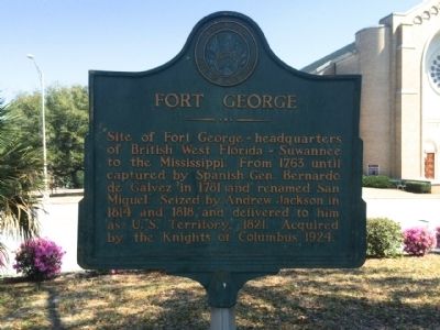
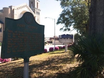
Fort George
Erected by the Knights of Columbus - Pensacola Council 778.
Topics and series. This historical marker is listed in these topic lists: Forts and Castles • War of 1812. In addition, it is included in the Former U.S. Presidents: #07 Andrew Jackson series list. A significant historical year for this entry is 1763.
Location. 30° 25.163′ N, 87° 13.022′ W. Marker is in Pensacola, Florida, in Escambia County. Marker is at the intersection of North Palafox Street and West Jackson Street, on the right when traveling south on North Palafox Street. Touch for map. Marker is at or near this postal address: 519 North Palafox Street, Pensacola FL 32501, United States of America. Touch for directions.
Other nearby markers. At least 8 other markers are within walking distance of this marker. A different marker also named Fort George (within shouting distance of this marker); Battle of Pensacola (about 300 feet away, measured in a direct line); Original Site of Pensacola Junior College (about 400 feet away); Boysen-Perry House (approx. 0.2 miles away); First Methodist Church (approx. 0.2 miles away); Christ Episcopal Church (approx. 0.2 miles away); General Bernardo de Gálvez and the "Siege of Pensacola" (approx. 0.2 miles away); Rough Riders (approx. ¼ mile away). Touch for a list and map of all markers in Pensacola.
More about this marker. Fort George Park is located about 250 feet south, in a direct line from this marker.
Also see . . . Fort George Historic Site - Pensacola, Florida. (Submitted on March 12, 2014, by Mark Hilton of Montgomery, Alabama.)
Photographed By Mark Hilton, March 11, 2014
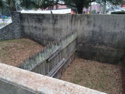
4. Fort George
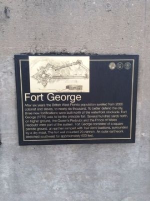
After six years the British West Florida population swelled from 2000 colonists and slaves, to nearly six thousand. To better defend the city, three new fortifications were built north of the waterfront stockade. Fort George (1772) was to be the principal fort. Several hundred yards north, on higher ground, the Queen's Redoubt and the Prince of Wales Redoubt were part of the system. Fort George consisted of a square parade ground, an earthen rampart with four demi-bastions, surrounded by a dry moat. The fort wall mounted 20 cannon. An outer earthwork stretched southwest for approximately 600 feet.
Photographed By Mark Hilton, March 11, 2014
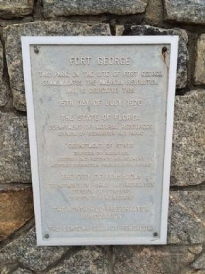
5. Archaeology at Fort George
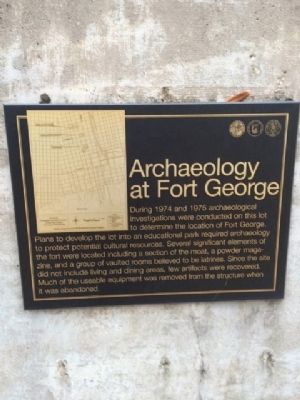
During 1974 and 1975 archaeological investigations were conducted on this lotto determine the location of Fort George. Plans to develop the lot into an educational park required archaeology to protect potential cultural resources. Several significant elements of the fort were located including a section of the moat, a powder magazine, and a group of vaulted rooms believed to be latrines. Since the site did not include living and dining areas, few artifacts were recovered. Much of the useable equipment was removed from the structure when it was abandoned.
Credits. This page was last revised on August 1, 2017. It was originally submitted on March 12, 2014, by Mark Hilton of Montgomery, Alabama. This page has been viewed 1,124 times since then and 29 times this year. Photos: 1, 2, 3, 4, 5, 6. submitted on March 12, 2014, by Mark Hilton of Montgomery, Alabama. • Bernard Fisher was the editor who published this page.
