Laytonsville in Gaithersburg in Montgomery County, Maryland — The American Northeast (Mid-Atlantic)
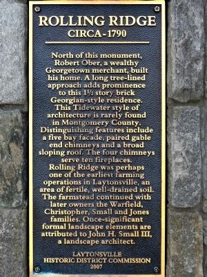
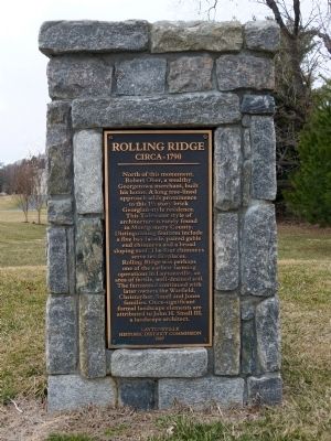
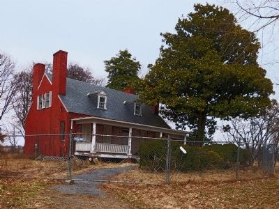
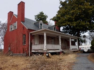
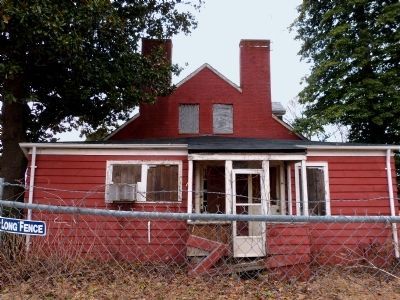
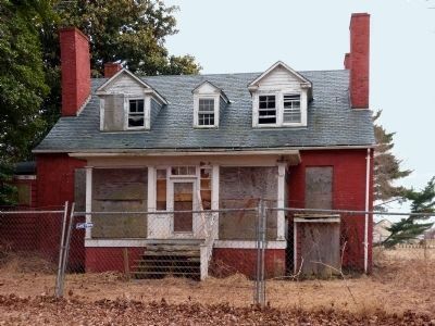
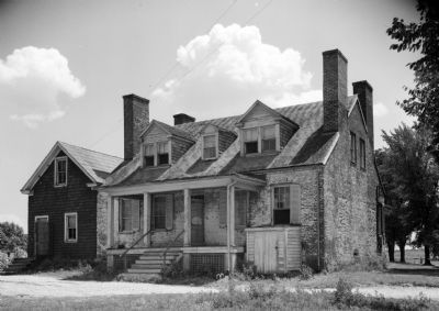
Rolling Ridge
Circa - 1790
Erected 2007 by Laytonsville Historic Commission.
Topics. This historical marker is listed in this topic list: Notable Buildings.
Location. 39° 12.711′ N, 77° 8.826′ W. Marker is in Gaithersburg, Maryland, in Montgomery County. It is in Laytonsville. Marker is at the intersection of Brink Road and Rolling Ridge Lane, on the right when traveling west on Brink Road. Touch for map. Marker is at or near this postal address: 7200 Brink Rd, Gaithersburg MD 20882, United States of America. Touch for directions.
Other nearby markers. At least 8 other markers are within 4 miles of this marker, measured as the crow flies. Layton House (approx. ¼ mile away); Goshen Mills (approx. 2.2 miles away); Sustaining a Family (approx. 3.3 miles away); Newmantown (approx. 3.3 miles away); Mills in the Upcounty (approx. 3.3 miles away); Our Agricultural Heritage (approx. 3.3 miles away); The Rachel Carson Greenway (approx. 3.3 miles away); Agricultural Crops and Labor (approx. 3.4 miles away). Touch for a list and map of all markers in Gaithersburg.
Regarding Rolling Ridge. A Civil War Anecdote:
Roger Brooke Farquhar in Historic Montgomery County, Maryland, 1952, tells this story about the Warfield family who lived here during the Civil War:
"An interesting incident involves Elisha G. Warfield, the only one living of this large family to tell the tale, which he heard from the lips of his own mother. A large detachment of Union soldiers was encamped on the farm not far from the house. Elisha was in his crib on the front porch. He was seven months old at the time. His mother was sitting nearby . It was about ten a.m. An officer walked up to the porch, picked up the baby without a word, and quietly walked away with the infant. The mother was apparently too terrified to protest. About noon the officer brought Elisha back, put him in the crib, and explained to the mother, 'The boys have been away for so long they are pretty homesick, and a visit from that little babe made them a bit happier.' Elisha's father never learned the name of the kind officer who borrowed his small son to give a lift to the morale of the troops. "
Also see . . . Rolling Ridge. (PDF) 7215 Brink Road, Laytonsville. Maryland Inventory of Historic Properties M:14-38. (Submitted on March 24, 2014, by Allen C. Browne of Silver Spring, Maryland.)
Credits. This page was last revised on February 21, 2023. It was originally submitted on March 24, 2014, by Allen C. Browne of Silver Spring, Maryland. This page has been viewed 633 times since then and 12 times this year. Photos: 1, 2, 3, 4, 5, 6, 7. submitted on March 24, 2014, by Allen C. Browne of Silver Spring, Maryland. • Bill Pfingsten was the editor who published this page.
