Syracuse in Kosciusko County, Indiana — The American Midwest (Great Lakes)
Last Tract of Land Owned by Miami
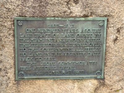
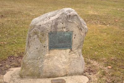
One hundred years ago, the last tract of land owned by the Miami Indians, who inhabited this territory, was turned over to the government. All titles to land in this vicinity date back to 1837.
This stone commemorates this historic event.
Erected 1937.
Topics. This historical marker is listed in these topic lists: Native Americans • Settlements & Settlers. A significant historical date for this entry is September 17, 1937.
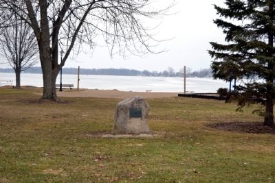
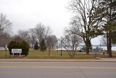
Location. 41° 25.844′ N, 85° 44.965′ W. Marker is in Syracuse, Indiana, in Kosciusko County. Marker can be reached from N. Long Drive south of E. Northshore Drive, on the right when traveling north. Marker is located in Lakeside Park across from the Syracuse Community Center. Touch for map. Marker is in this post office area: Syracuse IN 46567, United States of America. Touch for directions.
Other nearby markers. At least 8 other markers are within 6 miles of this marker, measured as the crow flies. Syracuse Cemetery (approx. 0.4 miles away); Crosson Park (approx. 0.4 miles away); Indian Hill (approx. half a mile away); Papakeechie's Reserve (approx. 2˝ miles away); Mount Pleasant Cemetery (approx. 3.1 miles away); In honor of the World War Veterans of this community (approx. 5.2 miles away); Milford World Wars Honor Roll (approx. 5.2 miles away); Salem Cemetery (approx. 5˝ miles away). Touch for a list and map of all markers in Syracuse.
Credits. This page was last revised on June 16, 2016. It was originally submitted on March 25, 2014, by Duane Hall of Abilene, Texas. This page has been viewed 572 times since then and 33 times this year. Photos: 1, 2, 3, 4. submitted on March 25, 2014, by Duane Hall of Abilene, Texas.


