
Myton in Duchesne County, Utah — The American Mountains (Southwest)
Myton
Photographed by Cosmos Mariner, June 15, 2013
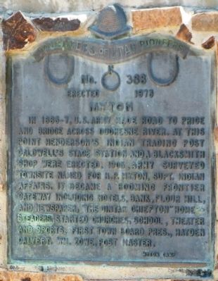
1. Myton Marker
In 1866-7, U. S. Army made road to Price and Bridge across Duchesne River. At this point Henderson’s Indian Trading Post, Caldwell’s Stage Station and a blacksmith shop were erected. 1905, Army surveyed townsite named for H. P. Myton, Supt. Indian Affairs. It became a booming frontier gateway including hotels, bank, flower mill, and newspaper, “The Uintah Chiefton”. Homesteaders started churches, school, theater and sports. First town board Pres., Hayden Calvert. Wm. Zowe, Post Master.
Myton Camp
Erected 1973 by Daughters of Utah Pioneers. (Marker Number 388.)
Topics and series. This historical marker is listed in this topic list: Settlements & Settlers. In addition, it is included in the Daughters of Utah Pioneers series list. A significant historical year for this entry is 1905.
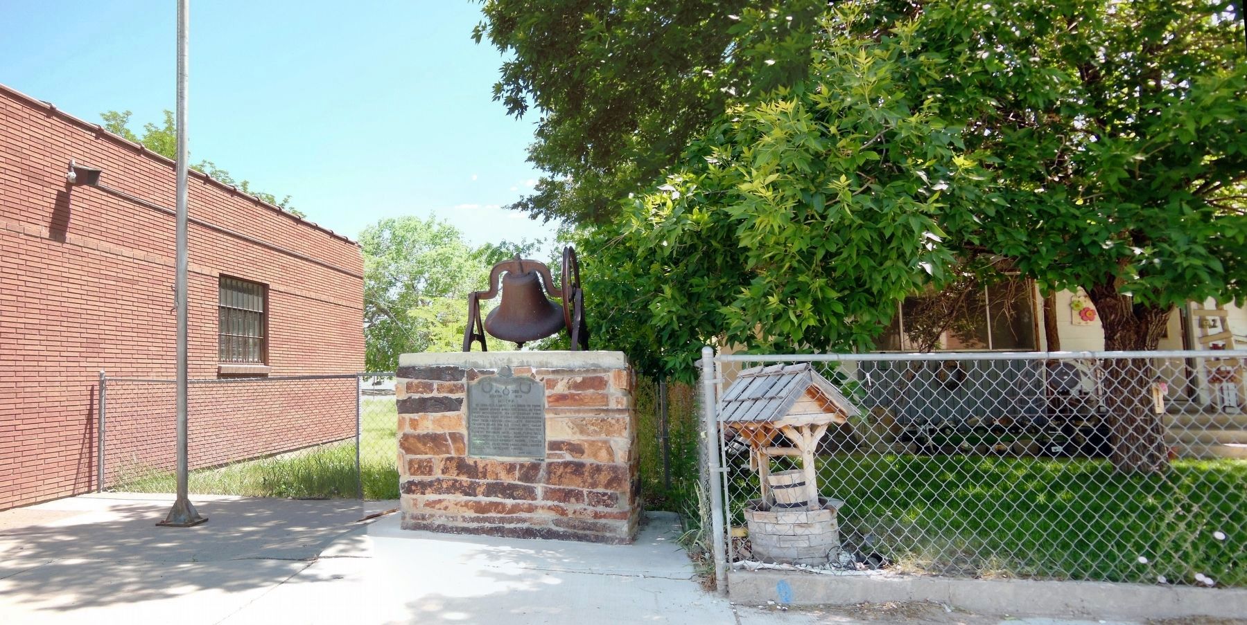
Location. 40° 11.665′ N, 110° 3.712′ W. Marker is in Myton, Utah, in Duchesne County. It is on East Main Street 0.1 miles west of South 100 East, on the right when traveling east. The marker is located adjacent to the Myton Post Office, next to the flagpole, in a tiny courtyard on the west side of the building. Touch for map. Marker is in this
this page online

Regionally, this marker is in Utah’s Uinta Basin and in the Uinta Mountains. It is also in the American Mountain West and on the Colorado Plateau. Globally, it is in North America, the Rocky Mountains, the Western Hemisphere, the Western World, and the Anglosphere. Historically, it finds itself in what was once New Spain and also Mexico’s Alta California.
Other nearby markers. At least 5 other markers are within 13 miles of this marker, measured as the crow flies: Roosevelt (approx. 7.4 miles away); Lake Fort (approx. 10.1 miles away); Fort Robidoux (approx. 11.6 miles away); Duty - Honor - Country (approx. 12.1 miles away); Fort Duchesne (approx. 12½ miles away).
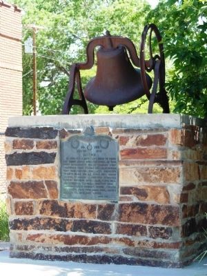
More about this marker. The marker is embedded into the front of a waist-high stone pedestal.
Also see . . .
1. History of Myton, Utah. Online Utah website entry (Submitted on April 4, 2014, by Cosmos Mariner of Cape Canaveral, Florida.)
2. Mynton City Area History. City website entry (Submitted on June 21, 2023, by Larry Gertner of New York, New York.)
Photographed by Cosmos Mariner, June 15, 2013
2. Myton Marker
An old, rusted school or church bell rests on top of the marker pedestal.
Photographed by Cosmos Mariner, June 15, 2013
3. Myton Marker
Credits. This page was last revised on June 21, 2023. It was originally submitted on April 4, 2014, by Cosmos Mariner of Cape Canaveral, Florida. This page has been viewed 1,900 times since then and 123 times this year. Photos: 1, 2. submitted on April 4, 2014, by Cosmos Mariner of Cape Canaveral, Florida. 3. submitted on December 6, 2020, by Cosmos Mariner of Cape Canaveral, Florida. • Bill Pfingsten was the editor who published this page.
