Near Hartselle in Morgan County, Alabama — The American South (East South Central)
Skirmish at Woodall's Bridge
April 7, 1864
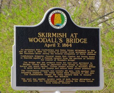
An estimated 600 Confederate and Union troops skirmished on this site on April 7, 1864 for control of crucial troop movements south of the Tennessee River during the Federal occupation of North Alabama.
Confederate Brigadier General James Holt Clanton led forces based in Danville against a Federal cavalry from the garrison at Decatur for control of Woodall's Bridge.
The bridge was the primary route for east-west movement in Morgan County after an important river bridge at Decatur was burned two years earlier. Troops needed access to Woodall's Bridge to move across the county and defend their picket positions.
The Confederate strength was initially 40 men, with another 200 becoming engaged. The Union forces were estimated at 350 men. The Confederates chased the Union cavalry back to Decatur after the skirmish.
The next day smaller cavalry units of both forces skirmished on this site with the Confederates again chasing the Union forces back towards Decatur.
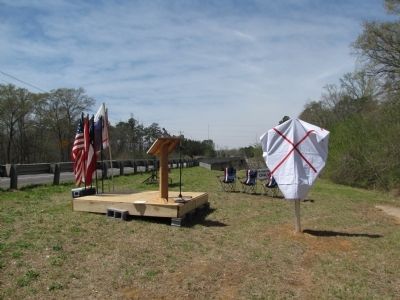
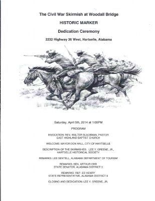
Erected 2014 by Hartselle Historical Society and the Alabama Tourism Board.
Topics. This historical marker is listed in these topic lists: Bridges & Viaducts • War, US Civil. A significant historical month for this entry is April 1910.
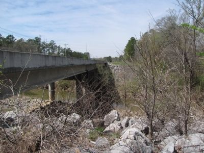
Location. 34° 26.543′ N, 86° 58.994′ W. Marker is near Hartselle, Alabama, in Morgan County. Marker is at the intersection of Main Street West (Alabama Route 36) and Springdale Drive SW, on the right when traveling west on Main Street West. Marker is located on the east bank of Flint Creek just before crossing the bridge. The modern highway bridge is located in nearly the exact same spot as the wartime Woodall's Bridge. Touch for map. Marker is at or near this postal address: 2236 Hwy 36 W, Hartselle AL 35640, United States of America. Touch for directions.
Other nearby markers. At least 8 other markers are within 8 miles of this marker, measured as the crow flies. The Great Hartselle Bank Robbery / Three Hours Required to Accomplish Heist (approx. 2.9 miles away); City of Hartselle, Alabama / Hartselle Facts (approx. 2.9 miles away); Bethel Road Historical District (approx. 3.6 miles away); West View (approx. 5 miles away); Cedar Plains Christian Church (approx. 5.4 miles away); McKendree Cemetery and the Massey Community / Charles Christopher Sheats 1839-1904 (approx. 5˝ miles away); Original Falkville Town Hall Building / Falkville Water Tower (approx. 6.7 miles away); M601A Tank (approx. 7.6 miles away). Touch for a list and map of all markers in Hartselle.
Credits. This page was last revised on June 16, 2016. It was originally submitted on April 5, 2014, by Lee Hattabaugh of Capshaw, Alabama. This page has been viewed 2,113 times since then and 98 times this year. Photos: 1, 2, 3. submitted on April 5, 2014, by Lee Hattabaugh of Capshaw, Alabama. 4. submitted on June 7, 2014, by Lee Hattabaugh of Capshaw, Alabama. • Bernard Fisher was the editor who published this page.


