Linden in Marengo County, Alabama — The American South (East South Central)
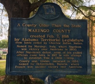
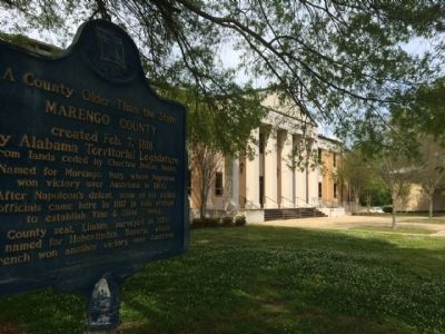
A County Older Than the State
Marengo County
Named for Marengo, Italy, where Napoleon won victory over Austrians in 1800.
After Napoleon's defeat, some of his exiled officials came here in 1817 in a vain attempt to establish Vine & Olive Colony.
County seat, Linden, surveyed in 1824; named for Hohenlinden, Bavaria, where French won another victory over Austrians.
Erected 1956 by Alabama Historical Association.
Topics and series. This historical marker is listed in this topic list: Settlements & Settlers. In addition, it is included in the Alabama Historical Association series list. A significant historical date for this entry is February 7, 1300.
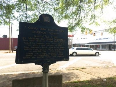
Location. 32° 18.383′ N, 87° 47.862′ W. Marker is in Linden, Alabama, in Marengo County. Marker is at the intersection of East Coats Avenue (Alabama Route 28) and South Main Street (U.S. 43), on the right when traveling west on East Coats Avenue. Touch for map. Marker is at or near this postal address: 101 East Coats Avenue, Linden AL 36748, United States of America. Touch for directions.
Other nearby markers. At least 8 other markers are within 15 miles of this marker, measured as the crow flies. History of Linden, Alabama (about 500 feet away, measured in a direct line); Old Marengo County Courthouse (approx. 0.4 miles away); Jefferson Methodist Church (approx. 7.9 miles away); Jefferson Baptist Church (approx. 8 miles away); History of the Town of Thomaston (approx. 10.4 miles away); Foscue House (approx. 13 miles away); Vine And Olive Colony (approx. 13.6 miles away); Whitfield Canal (approx. 14.1 miles away). Touch for a list and map of all markers in Linden.
Credits. This page was last revised on June 16, 2016. It was originally submitted on April 13, 2014, by Mark Hilton of Montgomery, Alabama. This page has been viewed 465 times since then and 24 times this year. Photos: 1, 2, 3. submitted on April 13, 2014, by Mark Hilton of Montgomery, Alabama. • Bernard Fisher was the editor who published this page.


