Rome in Adams County, Ohio — The American Midwest (Great Lakes)
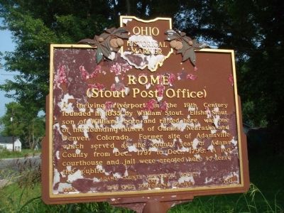
Rome
(Stout Post Office)
Erected 1980 by the Adams County Historical Society and the Ohio Historical Society. (Marker Number 8-1.)
Topics and series. This historical marker is listed in this topic list: Settlements & Settlers. In addition, it is included in the Ohio Historical Society / The Ohio History Connection, and the Postal Mail and Philately series lists. A significant historical month for this entry is December 1797.
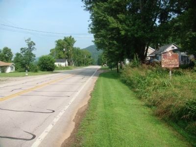
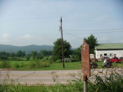
Location. 38° 39.979′ N, 83° 22.533′ W. Marker is in Rome, Ohio, in Adams County. Marker is on Ohio River Scenic Byway (U.S. 52) 0.3 miles west of Blue Creek Road (County Highway 18), on the right when traveling west. Touch for map. Marker is in this post office area: Rome OH 44085, United States of America. Touch for directions.
Other nearby markers. At least 8 other markers are within 6 miles of this marker, measured as the crow flies. Veterans Memorial Park (approx. 5.4 miles away in Kentucky); Commercial Hotel (approx. 5.4 miles away in Kentucky); Lewis and Clark Cottonwood Tree (approx. 5.4 miles away in Kentucky); Carter House (approx. 5.4 miles away in Kentucky); Stamper Block (approx. 5.4 miles away in Kentucky); Vanceburg Depot (approx. 5.4 miles away in Kentucky); Halbert House (approx. 5.4 miles away in Kentucky); Hickle’s Pool Room (approx. 5˝ miles away in Kentucky).
More about this marker. This marker has been mis-numbered on its face. The number for this marker on the historical society's lists is 8-1. This marker was inadvertently given a non-Adams County number, 1-8. There is another 1-8 in Brown County, 'Ulysses S. Grant Boyhood Home.'
Credits. This page was last revised on August 3, 2021. It was originally submitted on July 25, 2011, by William J. Toman of Green Lake, Wisconsin. This page has been viewed 1,193 times since then and 46 times this year. Last updated on April 22, 2014, by Larry Wilson of Wareham, Massachusetts. Photos: 1, 2, 3. submitted on July 25, 2011, by William J. Toman of Green Lake, Wisconsin. • Bill Pfingsten was the editor who published this page.
Editor’s want-list for this marker. Current photo of refurbished marker. • Can you help?


