Jemez Pueblo in Sandoval County, New Mexico — The American Mountains (Southwest)
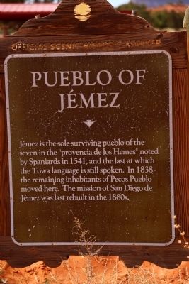
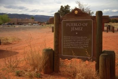
Pueblo of Jémez
Topics. This historical marker is listed in this topic list: Native Americans. A significant historical year for this entry is 1541.
Location. 35° 38.644′ N, 106° 43.484′ W. Marker is in Jemez Pueblo, New Mexico, in Sandoval County. Marker is on State Road 4. It is across from Jemez Pueblo visitor’s center. Touch for map. Marker is in this post office area: Jemez Pueblo NM 87024, United States of America. Touch for directions.
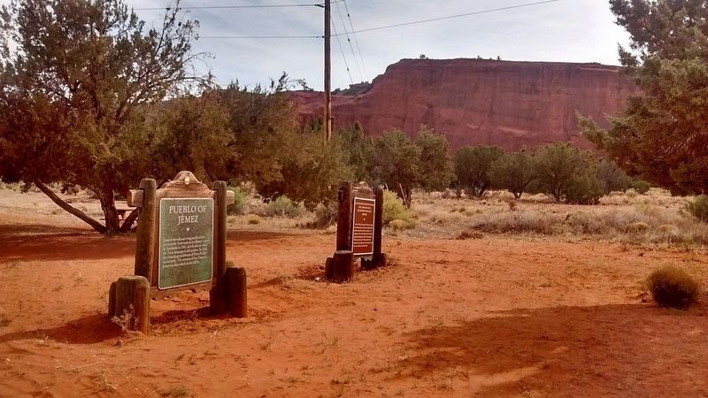
Other nearby markers. At least 6 other markers are within 11 miles of this marker, measured as the crow flies. Evelyn M. Vigil, Phan-Un-Pha-Kee (Young Doe) 1921–1995 (here, next to this marker); Colorado Plateau (approx. 7.6 miles away); Vasquez de Coronado's Route (approx. 9.2 miles away); Jémez State Monument (approx. 9.8 miles away); Pueblo of Zía (approx. 10.3 miles away); Trinidad Gachupin Medina (ca. 1883-1964) (approx. 10.3 miles away).
Regarding Pueblo of Jémez. History of Pueblo Jémez: “Our people experienced their first contact with Europeans in the form of Spanish conquistadors in the year of 1541. When the Coronado Expedition entered into the area, exactly 40 peaceful years went by before contact between the two groups was experienced again. The Rodríguez-Chamuscado Expedition entered the area in 1581, followed by the Espejo Expedition in 1583. In the year 1598, a detachment of the first colonized expedition under the direction of Don Juan de Onate visited the Jemez. A Franciscan priest by the title of Alonzo de Lugo was assigned to our people and he had our people build the area's first church at the Jemez Pueblo of Guisewa (now Jemez State Monument on State Highway 4 in Jemez Springs). According to our intricate oral history, as well as early written Spanish records (Espejo Expedition 1583), the Jemez nation contained an estimated 30,000 tribal members around the time of the Spanish contact, indicating that the population of the Cańon de San Diego was probably three times larger than what it is today. Unfortunately, the peace between our differing cultures did not last long and the Jemez population soon became decimated as a result of warfare and diseases introduced by the Europeans.”
Credits. This page was last revised on July 15, 2018. It was originally submitted on April 26, 2014, by J. J. Prats of Powell, Ohio. This page has been viewed 572 times since then and 17 times this year. Photos: 1, 2. submitted on April 26, 2014, by J. J. Prats of Powell, Ohio. 3, 4. submitted on July 15, 2018, by Tom Bosse of Jefferson City, Tennessee.


