Odessa in Ector County, Texas — The American South (West South Central)
Odessa Meteor Crater
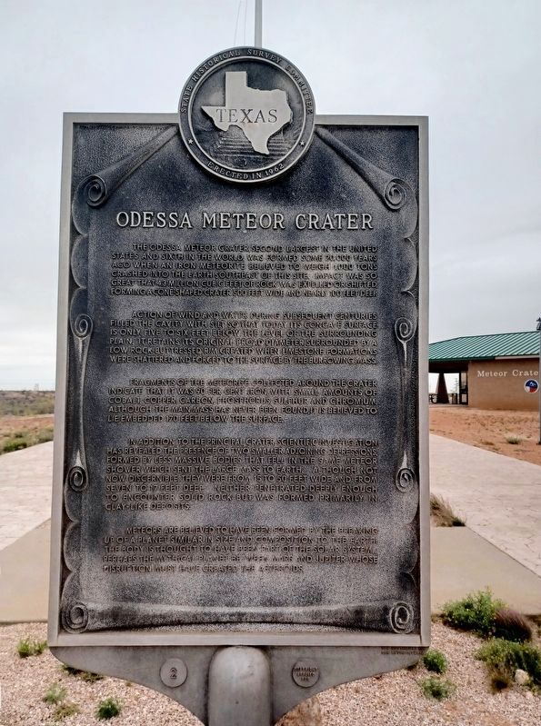
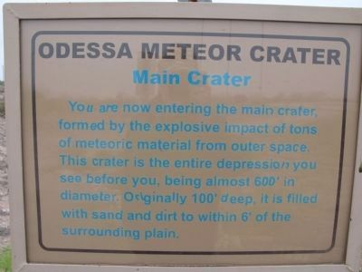
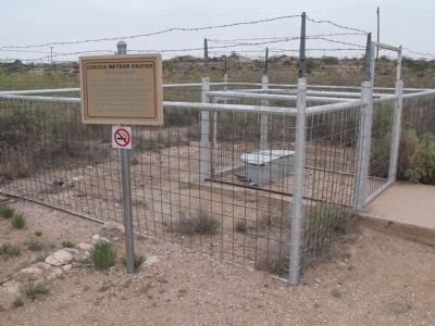
The Odessa Meteor Crater, second largest in the United States and sixth in the world, was formed some 20,000 years ago when an iron meteorite believed to weigh 1,000 tons crashed into the earth near this site. Impact was so great that 4.3 million cubic feet of rock was expelled or shifted, forming a cone-shaped crater 500 feet wide and nearly 100 feet deep.
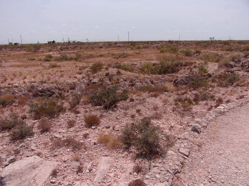
Action of wind and water during subsequent centuries filled the cavity with silt so that today its concave surface is only five to six feet below the level of the surrounding plain. It retains its original broad diameter, surrounded by a low, rock-buttressed rim created when limestone formations were shattered and forced to the surface by the burrowing mass.
Fragments of the meteorite collected around the crater indicate that it was 90 per cent iron, with small amounts of cobalt, copper, carbon, phosphorus, sulfur and chromium. Although the mass has never been found, it is believed to lie embedded 170 feet below the surface.
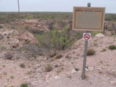
In addition to the principal crater, scientific investigation has revealed the presence of smaller adjoining depressions, formed by less massive bodies that fell in the same meteor shower which sent the large mass to earth. Although not now discernible, they were from 15 to 50 feet wide and from seven to 17 feet deep. Neither penetrated deeply enough to encounter solid rock but was formed primarily in clay-like deposits.
Meteors are believed to have been formed by the breaking-up of a planet similar in size and composition to the earth. The body is thought to have been part of the solar system... perhaps the mythical planet between Mars and Jupiter whose disruption must have created the asteroids.
Erected 1962 by State Historical Survey Committee. (Marker Number 3668.)
Topics. This historical marker is listed in this topic list: Science & Medicine.
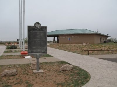
Location. 31° 45.428′ N, 102° 28.721′ W. Marker is in Odessa, Texas, in Ector County. Marker is on Meteor Crater Road, 2.1 miles south of West Murphy Street when traveling south. The marker is located in front of the Odessa Meteor Crater Museum. Touch for map. Marker is at or near this postal address: 3100 Meteor Crater Road, Odessa TX 79766, United States of America. Touch for directions.
Other nearby markers. At least 8 other markers are within 9 miles of this marker, measured as the crow flies. The Caprock (approx. 4˝ miles away); Well's Point (approx. 6˝ miles away); Penwell (approx. 7.8 miles away); The Henderson House (approx. 8.7 miles away); Odessa (approx. 8.9 miles away); The Jackrabbit (approx. 8.9 miles away); World's First Championship Jackrabbit Roping (approx. 8.9 miles away); Ector County Public Schools (approx. 8.9 miles away). Touch for a list and map of all markers in Odessa.
More about this marker. When Texas initiated the current historical marker program in 1962, the design of the markers was slightly different than what eventually became the standard design. The markers were larger and featured elaborate scroll work around the text. Approximately 20 of these markers were placed between 1962 and 1964, when the current marker design was adopted. This marker was the second marker in that initial series. The marker numbers disappeared in the new design and the THC eventually went with a completely different numbering scheme for the markers.
Credits. This page was last revised on May 6, 2024. It was originally submitted on April 30, 2014, by Richard Denney of Austin, Texas. This page has been viewed 858 times since then and 52 times this year. Photos: 1. submitted on April 22, 2024, by Flexible Fotography of San Diego, California. 2, 3, 4, 5, 6. submitted on April 30, 2014, by Richard Denney of Austin, Texas. 7, 8. submitted on August 31, 2020, by Kayla Harper of Dallas, Texas. 9. submitted on April 30, 2014, by Richard Denney of Austin, Texas. • Bernard Fisher was the editor who published this page.
