Columbia in Houston County, Alabama — The American South (East South Central)
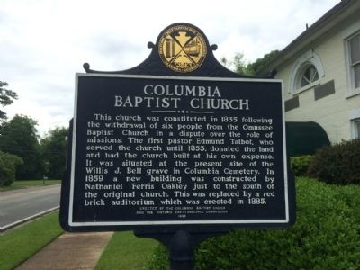
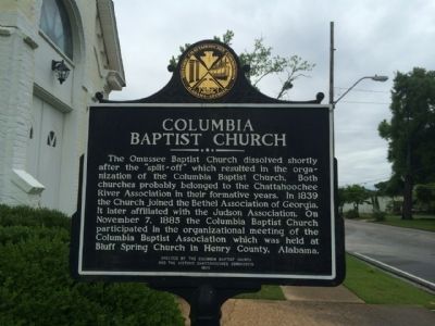
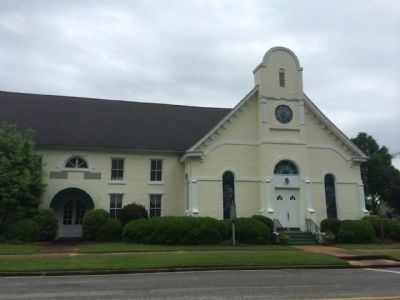
Columbia Baptist Church
Side 1
This church was constituted in 1835 following the withdrawal of six people from Omussee Baptist Church in a dispute over the role of missions. The first pastor Edmund Talbot, who served the Church until 1853, donated that land and had the church built at his own expense. It was situated at the present site of the Willis J. Bell grave in Columbia Cemetery. In 1859 a new building was constructed by Nathaniel Ferris Oakley just to the south of the original church. This was replaced by a red brick auditorium which was erected in 1885.
Side 2
The Omussee Baptist Church dissolved shortly after the “split-off” which resulted in the organization of the Columbia Baptist Church. Both churches probably belonged to the Chattahoochee River Association in their formative years. In 1839 the Church joined the Bethel Association of Georgia. It later affiliated with the Judson Association. On November 7, 1885 the Columbia Baptist Church participated in the organization meeting of the Columbia Baptist Association which was held at Bluff Spring Church in Henry County, Alabama.
Erected 1990 by the Columbia Baptist Church and the Historic Chattahoochee Commission.
Topics. This historical marker is listed in this topic list: Churches & Religion. A significant historical month for this entry is November 1798.
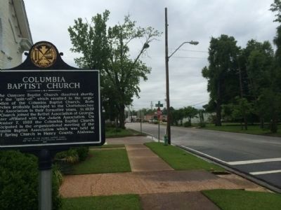
Location. 31° 17.653′ N, 85° 6.671′ W. Marker is in Columbia, Alabama, in Houston County. Marker is at the intersection of North Main Street (Alabama Route 95) and River Street, on the right when traveling north on North Main Street. Touch for map. Marker is at or near this postal address: 200 North Main Street, Columbia AL 36319, United States of America. Touch for directions.
Other nearby markers. At least 8 other markers are within 2 miles of this marker, measured as the crow flies. Columbia, Alabama (about 600 feet away, measured in a direct line); Columbia Elementary School Bell (about 700 feet away); Columbia Methodist Episcopal Church, South (about 800 feet away); Old Columbia Jail / Columbia (approx. 0.2 miles away); Purcell - Killingsworth House (approx. 0.2 miles away); Columbia Cemetery (approx. 0.2 miles away); The Chacato People (approx. 1.3 miles away); Omussee Creek Mound and Mississippian Period Societies (approx. 1.3 miles away). Touch for a list and map of all markers in Columbia.
Credits. This page was last revised on June 16, 2016. It was originally submitted on May 2, 2014, by Mark Hilton of Montgomery, Alabama. This page has been viewed 593 times since then and 32 times this year. Photos: 1, 2, 3, 4. submitted on May 2, 2014, by Mark Hilton of Montgomery, Alabama. • Bernard Fisher was the editor who published this page.


