Dothan in Houston County, Alabama — The American South (East South Central)
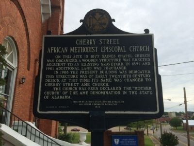
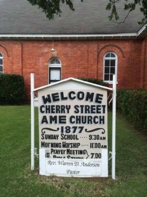
Cherry Street African Methodist Episcopal Church
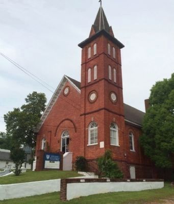
In 1908 the present building was dedicated. This structure was of early twentieth century design. At this time its name was changed to Cherry Street AME Church.
The Church has been declared the “Mother Church” of the AME denomination in the State of Alabama.
Erected 1979 by he Historic Chattahoochee Commission and the Dothan Landmarks Foundation.
Topics and series. This historical marker is listed in these topic lists: African Americans • Churches & Religion. In addition, it is included in the African Methodist Episcopal (AME) Church series list. A significant historical year for this entry is 1877.
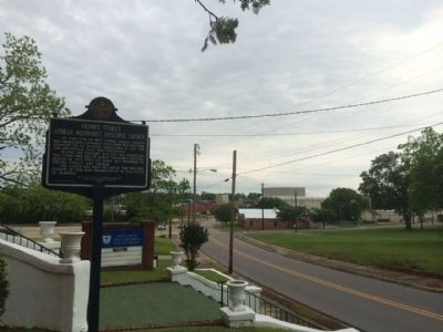
Location. 31° 13.629′ N, 85° 23.238′ W. Marker is in Dothan, Alabama, in Houston County. Marker is at the intersection of North Cherry Street and East Adams Street, on the right when traveling north on North Cherry Street. Touch for map. Marker is at or near this postal address: 308 North Cherry Street, Dothan AL 36303, United States of America. Touch for directions.
Other nearby markers. At least 8 other markers are within walking distance of this marker. Dothan Municipal Light and Water Plant (approx. 0.2 miles away); The Naming of Dothan (approx. ¼ mile away); A Memorial to the Fallen (approx. ¼ mile away); Marvin Holman (approx. 0.3 miles away); Poplar Head Spring (approx. 0.3 miles away); The Founding of Dothan, Alabama (approx. 0.3 miles away); Dothan Opera House (approx. 0.3 miles away); Main Street Commercial Historic District (approx. 0.3 miles away). Touch for a list and map of all markers in Dothan.
Credits. This page was last revised on June 16, 2016. It was originally submitted on May 2, 2014, by Mark Hilton of Montgomery, Alabama. This page has been viewed 760 times since then and 49 times this year. Photos: 1, 2, 3, 4. submitted on May 2, 2014, by Mark Hilton of Montgomery, Alabama. • Bernard Fisher was the editor who published this page.


