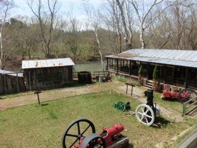
Burning Springs in Wirt County, West Virginia — The American South (Appalachia)
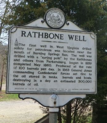
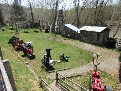
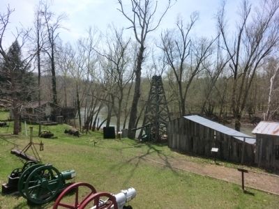
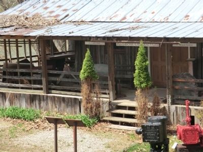
Rathbone Well
Erected 1963 by W, VA. Centennial Committee of the Oil and Natural Gas Industry, West Virginia Historic Commission.
Topics and series. This memorial is listed in these topic lists: Industry & Commerce • War, US Civil. In addition, it is included in the West Virginia Archives and History series list. A significant historical date for this entry is May 14, 1860.
Location. 38° 59.511′ N, 81° 19.187′ W. Marker is in Burning Springs, West Virginia, in Wirt County. Memorial is on Little Kanawha Parkway (West Virginia Route 5) 0.9 miles north of Straight Creek-Burning Spring Road (County Route 24), on the right when traveling north. Touch for map. Marker is in this post office area: Elizabeth WV 26143, United States of America. Touch for directions.
Other nearby markers. At least 8 other markers are within 7 miles of this marker, measured as the crow flies. Burning Springs Oil Field (a few steps from this marker); Destruction of Oil Works (a few steps from this marker); Population Center (approx. 0.7 miles away); Ruble Church (approx. 1˝ miles away); Murder of William B. Dulin (approx. 3 miles away); Buffalo Church (approx. 5.7 miles away); Historical Elizabeth (approx. 6.4 miles away); Wirt County Honor Roll (approx. 6.4 miles away). Touch for a list and map of all markers in Burning Springs.
Also see . . . The Rathbone Well. e-WV: The West Virginia Encyclopedia (Submitted on May 6, 2014.)
Credits. This page was last revised on June 1, 2021. It was originally submitted on May 6, 2014, by Don Morfe of Baltimore, Maryland. This page has been viewed 868 times since then and 48 times this year. Photos: 1, 2, 3, 4, 5, 6. submitted on May 6, 2014, by Don Morfe of Baltimore, Maryland. • Bernard Fisher was the editor who published this page.
