Near Brownfield in Terry County, Texas — The American South (West South Central)
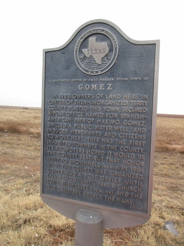
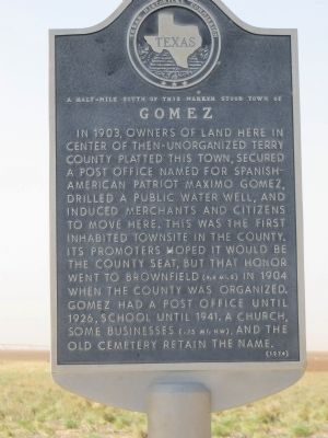
Gomez
A half-mile south of this marker stood the town of
Photographed by Jeff Leichsenring, December 15, 2025
1. Gomez Marker
Erected 1974 by Texas Historical Commission. (Marker Number 2211.)
Topics and series. This historical marker is listed in this topic list: Settlements & Settlers. In addition, it is included in the Postal Mail and Philately series list. A significant historical year for this entry is 1903.
Location. 33° 10.887′ N, 102° 22.255′ W. Marker is near Brownfield, Texas, in Terry County. It is on U.S. 82/380 0.4 miles east of Farm to Market Road 303, on the right when traveling east. Touch for map. Marker is in this post office area: Brownfield TX 79316, United States of America.
this page online

Regionally, this marker is on Texas’ South Plains. It is also on the American Great Plains and specifically on the Southern Plains. Globally, it is in North America, a Gulf of Mexico state, the Western Hemisphere, the Western World, and the Anglosphere. Historically, it finds itself in what was once New Spain, the Comanchería, the Republic of Texas, and one of the Confederate States of America.
Other nearby markers. At least 8 other markers are within 6 miles of this marker, measured as the crow flies: Gomez Baptist Church (approx. 0.4 miles away); Gomez Cemetery (approx. 0.7 miles away); Brownfield Cemetery (approx. 4.6 miles away); Brownfield Municipal Power Plant (approx. 5.1 miles away); City of Brownfield (approx. 5.2 miles away); In Honor of Terry Co. Veterans (approx. 5.2 miles away); "Flame of Freedom" (approx. 5.2 miles away); Colonel B. F. Terry / Terry's Texas Rangers (approx. 5.2 miles away). Touch for a list and map of all markers in Brownfield.
Photographed by Bill Kirchner, April 28, 2014
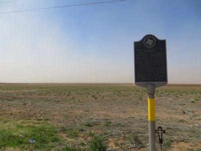
2. Gomez Marker
Library of Congress
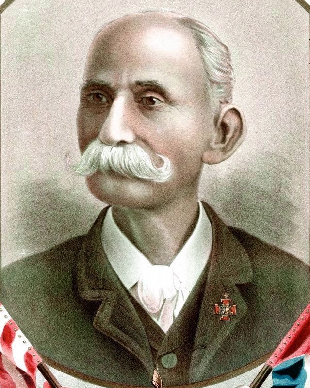
3. General Máximo Gómez
Copyright 1898 by Henry C. Langrehr S.F., Cal.
Lith. H. S. Crocker Co. S.F.
Lith. H. S. Crocker Co. S.F.
Photographed by Jeff Leichsenring, December 15, 2025
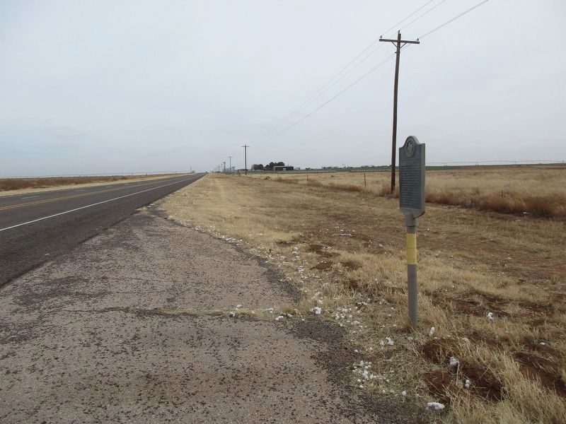
4. Gomez Marker
Photographed by Bill Kirchner, April 28, 2014
5. Gomez Marker
Credits. This page was last revised on December 20, 2025. It was originally submitted on May 7, 2014, by Bill Kirchner of Tucson, Arizona. This page has been viewed 3,720 times since then and 166 times this year. Photos: 1. submitted on December 18, 2025, by Jeff Leichsenring of Garland, Texas. 2. submitted on May 7, 2014, by Bill Kirchner of Tucson, Arizona. 3. submitted on September 6, 2020, by Allen C. Browne of Silver Spring, Maryland. 4. submitted on December 18, 2025, by Jeff Leichsenring of Garland, Texas. 5. submitted on May 7, 2014, by Bill Kirchner of Tucson, Arizona. • Bernard Fisher was the editor who published this page.
