Meadow in Terry County, Texas — The American South (West South Central)
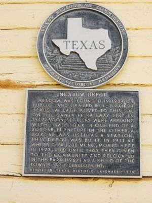
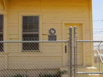
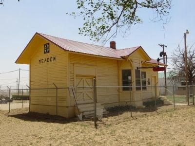
Meadow Depot
Erected 1975 by Texas Historical Commission. (Marker Number 3308.)
Topics. This historical marker is listed in these topic lists: Railroads & Streetcars • Settlements & Settlers. A significant historical year for this entry is 1904.
Location. 33° 20.247′ N, 102° 12.399′ W. Marker is in Meadow, Texas, in Terry County. Marker is at the intersection of Sonny Curtis Street and Mitchell Street, on the right when traveling north on Sonny Curtis Street. The marker is located on the southeast corner. Touch for map. Marker is in this post office area: Meadow TX 79345, United States of America. Touch for directions.
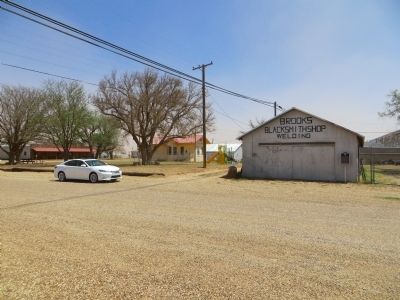
Other nearby markers. At least 8 other markers are within 6 miles of this marker, measured as the crow flies. An Early Native American Resident (here, next to this marker); Brooks Blacksmith Shop (within shouting distance of this marker); Meadow United Methodist Church (approx. ¼ mile away); Meadow Cemetery (approx. 1½ miles away); Route of Nolan Expedition (approx. 3.1 miles away); Site of Primrose School (approx. 4.9 miles away); Ropesville Cemetery (approx. 5½ miles away); Ropesville Resettlement Project (approx. 5.9 miles away). Touch for a list and map of all markers in Meadow.
Credits. This page was last revised on June 16, 2016. It was originally submitted on May 8, 2014, by Bill Kirchner of Tucson, Arizona. This page has been viewed 414 times since then and 16 times this year. Photos: 1, 2, 3, 4. submitted on May 8, 2014, by Bill Kirchner of Tucson, Arizona. • Bernard Fisher was the editor who published this page.


