Victorville in San Bernardino County, California — The American West (Pacific Coastal)
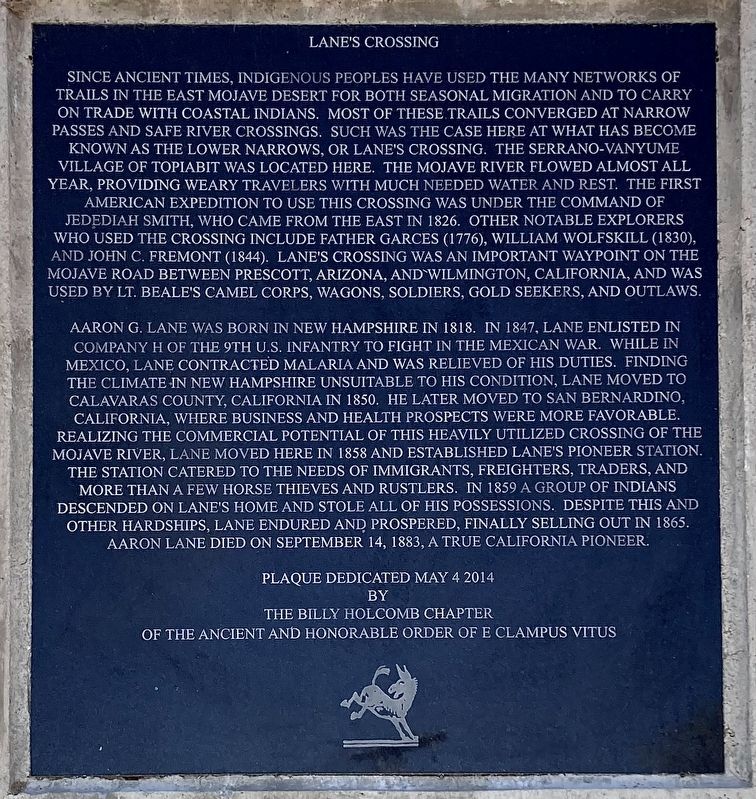
Lane's Crossing
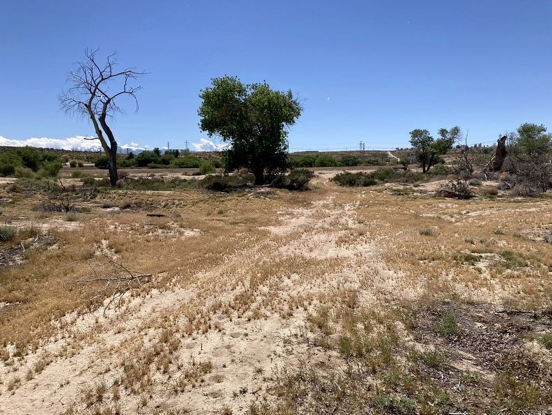
Aaron Lane was born in New Hampshire in 1818. In 1847, Lane enlisted in Company H of the 9th U.S. Infantry to fight in the Mexican War. While in Mexico, Lane contracted malaria and was relieved of his duties. Finding the climate in New Hampshire unsuitable to his condition, Lane moved to Calavaras County, California in 1850. He later moved to San Bernardino California, where business and health prospects were more favorable. Realizing the commercial potential of this heavily utilized crossing of the Mojave River, Lane moved here in 1858 and established Lane's Pioneer Station. The station catered to the needs of immigrants, freighters, traders, and more than a few horse thieves and rustlers. In 1859 a group of Indians descended on Lane's home and stole all of his possessions. Despite this and other hardships, Lane endured and prospered, finally selling out in 1865. Aaron Lane died on September 14, 1883, a true California pioneer.
Erected 2014 by Billy Holcomb Chapter No. 1069 E Clampus Vitus. (Marker Number 150.)
Topics and series. This historical marker is listed in these topic lists: Exploration • Native Americans • Settlements & Settlers • War, Mexican-American. In addition, it is included in the E Clampus Vitus series list. A significant historical date for this entry is May 4, 1981.
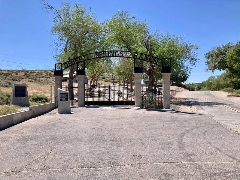
Location. 34° 34.347′ N, 117° 20.183′ W. Marker is in Victorville, California, in San Bernardino County. Marker is on Turner Road, one mile west of National Trails Highway, on the left when traveling west. Touch for map. Marker is at or near this postal address: 14801 Turner Road, Victorville CA 92394, United States of America. Touch for directions.
Other nearby markers. At least 8 other markers are within 4 miles of this marker, measured as the crow flies. Mojave River Crossing (here, next to this marker); Emma Jean's (approx. 1˝ miles away); Oro Grande Cemetery (approx. 2 miles away); George Air Force Base (approx. 2.4 miles away); F-4C Phantom II (approx. 2.4 miles away); California Route 66 Museum, Victorville, California (approx. 3.4 miles away); Old Town Victorville Veterans Memorial (approx. 3.6 miles away); Mormon Springs (approx. 3.6 miles away). Touch for a list and map of all markers in Victorville.
Also see . . .
1. Lane's Crossing. Aaron Lane can be placed on the Mojave River as early as December 1858, at which time a theft took place on his property. The crime is noted in a letter dated December 16, 1859, from Brevet Major James Henry Carleton, First Dragoons, at Fort Tejon, to Major W. W. Mackall, Assistant Adjutant General, in San Francisco. (Submitted on May 7, 2014, by Michael Kindig of Elk Grove, California.)
2. Pioneer of the Mojave. This is the story of Victor Valley pioneer Captain A. G. Lane, the first permanent settler on the High Desert. In 1858 Lane located at a spot about one-half mile below the lower narrows of the Mojave River. (Submitted on May 7, 2014, by Michael Kindig of Elk Grove, California.)
Credits. This page was last revised on April 28, 2024. It was originally submitted on May 7, 2014, by Michael Kindig of Elk Grove, California. This page has been viewed 1,507 times since then and 352 times this year. Last updated on May 9, 2014, by Michael Kindig of Elk Grove, California. Photos: 1. submitted on April 28, 2024, by Craig Baker of Sylmar, California. 2, 3. submitted on May 7, 2014, by Michael Kindig of Elk Grove, California. 4, 5. submitted on April 28, 2024, by Craig Baker of Sylmar, California. 6. submitted on May 7, 2014, by Michael Kindig of Elk Grove, California. • Bill Pfingsten was the editor who published this page.
