Muleshoe in Bailey County, Texas — The American South (West South Central)
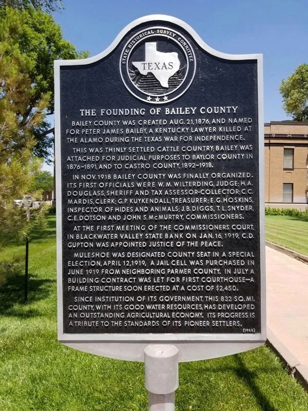
The Founding of Bailey County
This was thinly settled cattle country; Bailey was attached for judicial purposes to Baylor County in 1876-1891, and to Castro County, 1892-1918.
In Nov. 1918, Bailey County was finally organized. Its first officials were W.M. Wilterding, Judge; H.A. Douglass, Sheriff and Tax Assessor-Collector; C.C. Mardis, Clerk; G.P. Kuykendall, Treasurer; E.G. Hoskins, Inspector of Hides and Animals; J.B. Diggs, T.L. Snyder, C.E. Dotson and John S. McMurtry, Commissioners.
At the first meeting of the commissioners court, in Blackwater Valley State Bank on Jan. 16, 1919, C.D. Gupton was appointed Justice of the Peace.
Muleshoe was designated county seat in a special election, April 12, 1919. A jail cell was purchased in June 1919 from neighboring Parmer County. In July a building contract was let for first courthouse - a frame structure soon erected at a cost of $2,450.
Since institution of its government, this 832 sq. mi. county, with its good water resources, has developed an outstanding agricultural economy. Its progress is a tribute to the standards of its pioneer settlers.
Erected 1968 by State Historical Survey Committee. (Marker Number 5337.)
Topics. This historical marker is listed in this topic list: Settlements & Settlers. A significant historical date for this entry is April 12, 1879.
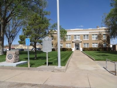
Location. 34° 13.457′ N, 102° 43.555′ W. Marker is in Muleshoe, Texas, in Bailey County. Marker is on South 1st Street (State Highway 214) south of West Avenue C, on the right when traveling south. Touch for map. Marker is at or near this postal address: 300 South 1st Street, Muleshoe TX 79347, United States of America. Touch for directions.
Other nearby markers. At least 8 other markers are within 5 miles of this marker, measured as the crow flies. Bailey County (here, next to this marker); The Mule (approx. 0.2 miles away); Old Muleshoe Ranch Cookhouse (approx. 1.6 miles away); Quanah Parker Trail (approx. 1.6 miles away); Old Hurley (approx. 2.7 miles away); XIT Ranch South Line (approx. 3 miles away); Harden A. Douglass (approx. 4.9 miles away); Bailey County Cemetery (approx. 4.9 miles away). Touch for a list and map of all markers in Muleshoe.
Credits. This page was last revised on June 14, 2020. It was originally submitted on May 13, 2014, by Bill Kirchner of Tucson, Arizona. This page has been viewed 682 times since then and 24 times this year. Photos: 1. submitted on June 14, 2020, by Allen Lowrey of Amarillo, Texas. 2, 3. submitted on May 13, 2014, by Bill Kirchner of Tucson, Arizona. • Bernard Fisher was the editor who published this page.


