Fort Sumner in De Baca County, New Mexico — The American Mountains (Southwest)
Fort Sumner
Photographed by Bill Kirchner, April 29, 2014
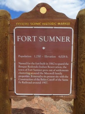
1. Fort Sumner Marker
Named for the fort built in 1862 to guard the Bosque Redondo Indian Reservation, the town of Fort Sumner grew out of settlements clustering around the Maxwell family properties. It moved to its present site with the construction of the Belen Cutoff of the Santa Fe Railroad around 1907.
Erected by New Mexico Historic Preservation Division.
Topics. This historical marker is listed in these topic lists: Forts and Castles • Settlements & Settlers. A significant historical year for this entry is 1862.
Location. This marker has been replaced by another marker nearby. It was located near 34° 27.707′ N, 104° 12.854′ W. Marker was in Fort Sumner, New Mexico, in De Baca County. It was on State Road 60 at milepost 329.5, on the left when traveling east. Touch for map. Marker was in this post office area: Fort Sumner NM 88119, United States of America. Touch for directions.

Regionally, this marker was in Eastern New Mexico and in the Pecos Valley. It was also in the American Southwest, on the Great Plains, on the Southern Plains, and specifically on the High Plains. Globally,
this page online
Other nearby markers. At least 8 other markers are within 5 miles of this location, measured as the crow flies: A different marker also named Fort Sumner (approx. 1.3 miles away); Fort Sumner, the Bosque Redondo Reservation, and "Billy the Kid's" Grave (approx. 1.3 miles away); a different marker also named Fort Sumner (approx. 2.7 miles away); Bosque Redondo Memorial at Fort Sumner Historic Site (approx. 4.1 miles away); a different marker also named Bosque Redondo Memorial at Fort Sumner Historic Site (approx. 4.1 miles away); William "Billy the Kid" Bonney Grave 1859-1881 / Old Fort Sumner Cemetery (approx. 4.2 miles away); Welcome to the Historic Fort Sumner Cemetery (approx. 4.2 miles away); Joe "Texas Red" Grant (approx. 4.2 miles away). Touch for a list and map of all markers in Fort Sumner.
Other markers no longer nearby. Bosque Redondo Indian Reservation (was approx. 1.2 miles away but has been replaced with
Photographed by Bill Kirchner, April 29, 2014
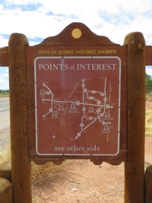
2. Back of Fort Sumner Marker
Points of Interest
New Mexico's Historic Markers typically have a map on the back side showing the location of other OSHM's. This is an excellent source of information when exploring for other Historical Markers and locations.
New Mexico's Historic Markers typically have a map on the back side showing the location of other OSHM's. This is an excellent source of information when exploring for other Historical Markers and locations.
Photographed by Bill Kirchner, April 29, 2014
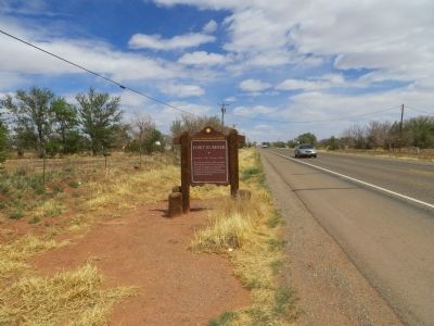
3. Fort Sumner Marker

Photographed by James Hulse, March 24, 2025
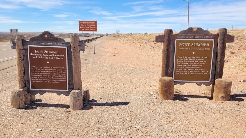
4. New Replacement Fort Sumner Marker
Photographed by James Hulse, March 24, 2025
5. New Replacement Fort Sumner Marker with New Location
Credits. This page was last revised on April 12, 2025. It was originally submitted on May 14, 2014, by Bill Kirchner of Tucson, Arizona. This page has been viewed 1,445 times since then and 27 times this year. Photos: 1, 2, 3. submitted on May 14, 2014, by Bill Kirchner of Tucson, Arizona. 4, 5. submitted on April 12, 2025, by James Hulse of Medina, Texas. • Bill Pfingsten was the editor who published this page.
