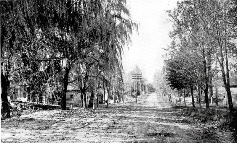
Annandale in Fairfax County, Virginia — The American South (Mid-Atlantic)
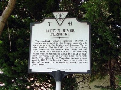
Little River Turnpike
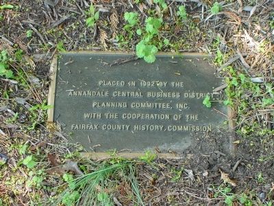
Erected 1992 by Department of Historic Resources. (Marker Number T-41.)
Topics and series. This historical marker is listed in this topic list: Roads & Vehicles. In addition, it is included in the Virginia Department of Historic Resources (DHR) series list. A significant historical year for this entry is 1796.
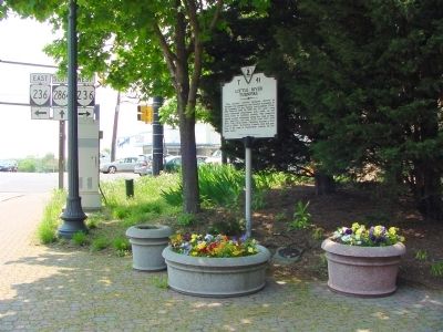
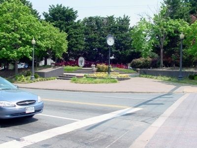
Location. 38° 49.848′ N, 77° 11.807′ W. Marker is in Annandale, Virginia, in Fairfax County. Marker is at the intersection of Annandale Road and Little River Turnpike (Virginia Route 236), on the left when traveling north on Annandale Road. Touch for map. Marker is in this post office area: Annandale VA 22003, United States of America. Touch for directions.
Other nearby markers. At least 8 other markers are within 2 miles of this marker, measured as the crow flies. The Cannon (about 700 feet away, measured in a direct line); Action At Annandale (approx. 0.6 miles away); Mosby Attacks Annandale (approx. 0.8 miles away); Mason's Hill (approx. 1.3 miles away); Price’s Ordinary (approx. 1.4 miles away); a different marker also named Mason’s Hill (approx. 1.9 miles away); Ravensworth (approx. 2 miles away); a different marker also named Ravensworth (approx. 2 miles away). Touch for a list and map of all markers in Annandale.
More about this marker. Marker can’t be seen from Little River Turnpike eastbound, and you would probably miss unless the traffic light turns red westbound.
Also see . . .
1. A Short History of Annandale, Virginia. 1985 article by Audrey B. Capone. (Submitted on April 26, 2008.)
2. Turnpikes of Virginia. “Little River Turnpike (Route 236 from Alexandria to Jermantown near the City of Fairfax, and then US 50 west to the Bull Run Mountains) is often credited with being the second turnpike in America.” (Submitted on April 27, 2008.)
Credits. This page was last revised on July 7, 2021. It was originally submitted on April 26, 2008, by J. J. Prats of Powell, Ohio. This page has been viewed 2,812 times since then and 83 times this year. Photos: 1, 2, 3, 4. submitted on April 26, 2008, by J. J. Prats of Powell, Ohio. 5. submitted on April 10, 2021, by Allen C. Browne of Silver Spring, Maryland.
