Clay City in Powell County, Kentucky — The American South (East South Central)
Clay City Timber Industry / Early Iron Works
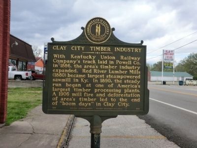
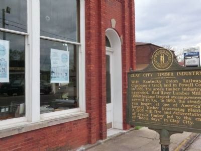
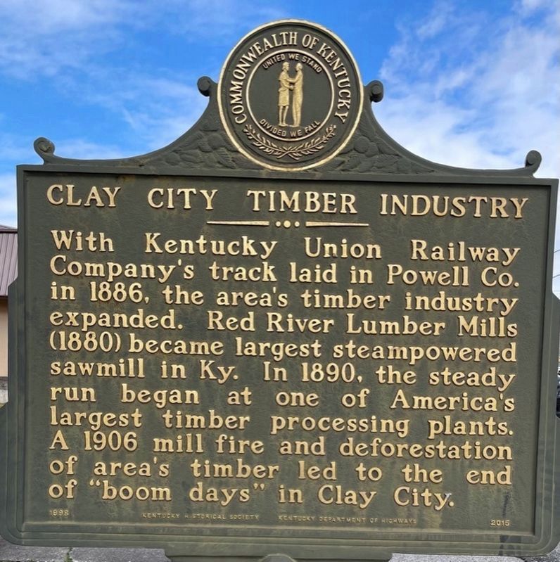
-With Kentucky Union Railway Company's track laid in Powell Co. in 1886, the area's timber industry expanded. Red River Lumber Mills (1880)became largest steam powered sawmill in Ky. In 1890, the steady run began at one of America's largest timber processing plants. A 1906 mill fire and deforestation of area's timber led to the end of "boom days" in Clay City.
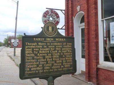
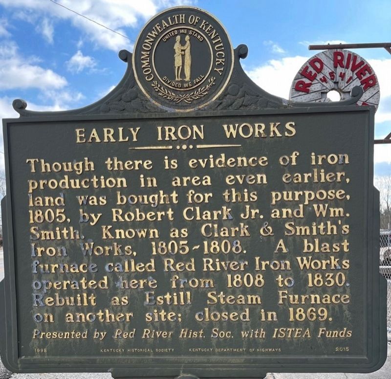
-Though there is evidence of iron production in area even earlier, land was bought for this purpose, 1805, by Robert Clark Jr. and Wm. Smith. Known as Clark & Smith's Iron Works, 1805-1808. A blast furnace called Red River Iron Works operated here from 1808 to 1830. Rebuilt as Estill Steam Furnace on another site; closed in 1869. Presented by Red River Hist. Soc. with ISTEA Funds.
Erected 1998 by Kentucky Historical Society-Kentucky Department of Highways. (Marker Number 2015.)
Topics and series. This historical marker is listed in these topic lists: Industry & Commerce • Settlements & Settlers. In addition, it is included in the Kentucky Historical Society series list. A significant historical year for this entry is 1886.
Location. 37° 51.636′ N, 83° 55.284′ W. Marker is in Clay City, Kentucky, in Powell County. Marker is on Main Street. The marker is located in front of the Red River Museum. Touch for map. Marker is in this post office area: Clay City KY 40312, United States of America. Touch for directions.
Other nearby markers. At least 8 other markers are within 4 miles of this marker, measured as the crow flies. Collecting Red River's History (within shouting distance of this marker); Courthouse Burned (approx. 3.4 miles away); Persian Gulf War Memorial (approx. 3.4 miles away); War Memorial (approx. 3.4 miles away); County Named, 1852 (approx. 3.4 miles away); Woody Stephens and Forty Niner (approx. 3.4 miles away); Powell County Veterans Memorial (approx. 3.4 miles away); Pilot Knob (approx. 4 miles away). Touch for a list and map of all markers in Clay City.
Credits. This page was last revised on February 8, 2021. It was originally submitted on May 20, 2014, by Don Morfe of Baltimore, Maryland. This page has been viewed 947 times since then and 63 times this year. Photos: 1, 2, 3. submitted on May 20, 2014, by Don Morfe of Baltimore, Maryland. 4, 5. submitted on February 5, 2021, by Frank Profitt of Georgetown, Kentucky. • Bill Pfingsten was the editor who published this page.
