Orleans in Orange County, Indiana — The American Midwest (Great Lakes)
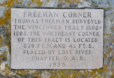
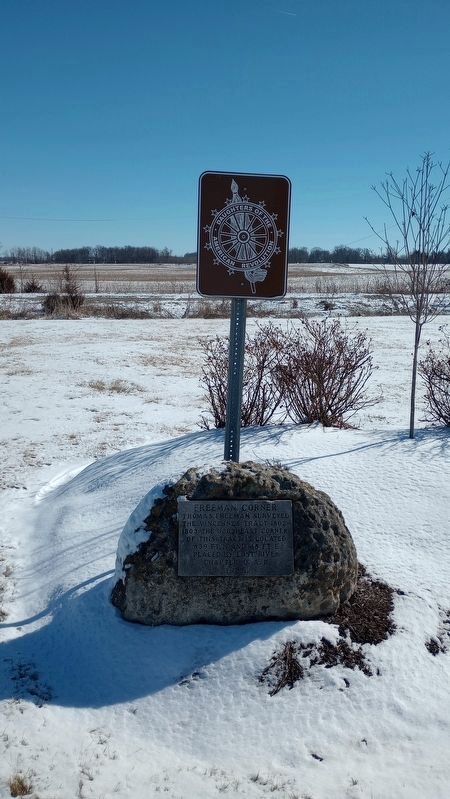
Freeman Corner
Thomas Freeman surveyed the Vincennes Tract 1802-1803. The northeast corner of this tract is located 839 ft. N. and 48 ft. E.
Placed by Lost River Chapter D.A.R.
1935.
Erected 1935 by Lost River Chapter of Daughters of the American Revolution.
Topics and series. This historical marker is listed in these topic lists: Native Americans • Settlements & Settlers. In addition, it is included in the Daughters of the American Revolution series list. A significant historical year for this entry is 1935.
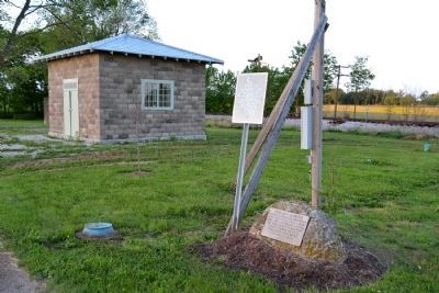
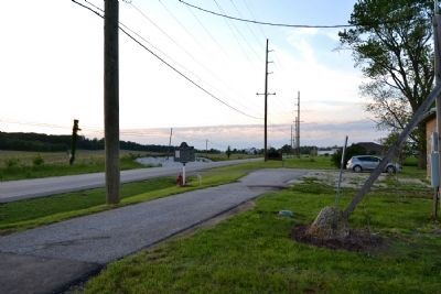
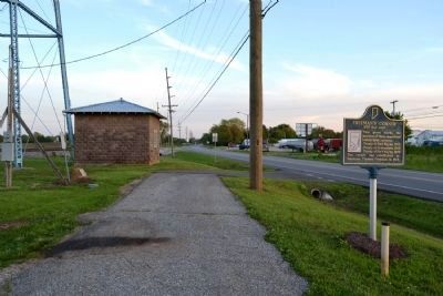
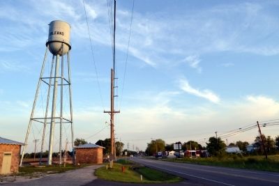
Location. 38° 40.584′ N, 86° 27.181′ W. Marker is in Orleans, Indiana, in Orange County. Marker can be reached from N. Maple Street (State Road 37) north of County Road 810N, on the right when traveling north. Marker is located near the Orleans water tower. Touch for map. Marker is in this post office area: Orleans IN 47452, United States of America. Touch for directions.
Other nearby markers. At least 8 other markers are within 4 miles of this marker, measured as the crow flies. Freeman's Corner (a few steps from this marker); Orleans Public Library (approx. 0.9 miles away); Veterans Memorial (approx. one mile away); Orleans War Memorial (approx. one mile away); Orleans School Bell (approx. one mile away); Orleans Congress Square (approx. one mile away); Astronaut Virgil I. (Gus) Grissom Boyhood Home (approx. 3.9 miles away); Space Age Sweetgum Tree (approx. 3.9 miles away). Touch for a list and map of all markers in Orleans.
Additional commentary.
1. Location of Freeman's Corner
The nearby 1966 marker erected by the Indiana Sesquicentennial Commission indicates a different location for the survey corner. The Indiana state marker states the corner is 250 feet east.
— Submitted May 31, 2014, by Duane Hall of Abilene, Texas.
Credits. This page was last revised on March 4, 2024. It was originally submitted on May 31, 2014, by Duane Hall of Abilene, Texas. This page has been viewed 804 times since then and 56 times this year. Photos: 1, 2, 3, 4, 5. submitted on May 31, 2014, by Duane Hall of Abilene, Texas. 6. submitted on February 27, 2024, by Craig Doda of Napoleon, Ohio.
