
Near Bedford in Lawrence County, Indiana — The American Midwest (Great Lakes)
Site of James Gregory House
(about 200 yards south)
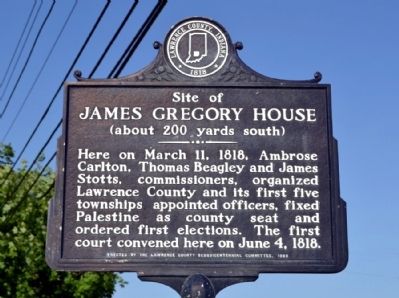
Photographed by Duane Hall, May 23, 2014
1. Site of James Gregory House Marker
Erected 1968 by Lawrence County Sesquicentennial Committee.
Topics. This historical marker is listed in this topic list: Settlements & Settlers. A significant historical month for this entry is March 1878.
Location. 38° 52.399′ N, 86° 26.345′ W. Marker is near Bedford, Indiana, in Lawrence County. It is at the intersection of U.S. 50 and Ikerd Lane, on the right when traveling east on U.S. 50. Touch for map. Marker is in this post office area: Bedford IN 47421, United States of America. Touch for directions.

Regionally, this marker is in Shawnee Hills and in Southern Indiana. It is also in the American Midwest and in the Corn Belt. Globally, it is in North America, the Western Hemisphere, the Western World, and the Anglosphere. Historically, it finds itself in what was once the territory of the Mississippian Culture and also the Northwest Territory.
this page online
Other nearby markers. At least 8 other markers are within 3 miles of this marker, measured as the crow flies: Otis Park (approx. 1½ miles away); Pine Hall (approx. 1½ miles away); a different marker also named Otis Park (approx. 1.6 miles away); Bedford Courthouse Square Historic District (approx. 2½ miles away); Site of the Bedford Branch of the State Bank of Indiana (approx. 2½ miles away); Lawrence Park (approx. 2½ miles away); Lawrence County Bicentennial Celebration (approx. 2½ miles away); The Cornerstone of Freedom (approx. 2½ miles away). Touch for a list and map of all markers in Bedford.
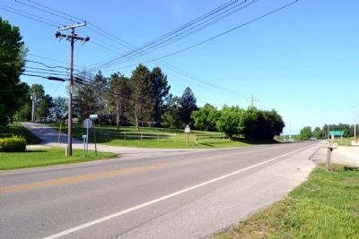
Photographed by Duane Hall, May 23, 2014
2. Site of James Gregory House Marker
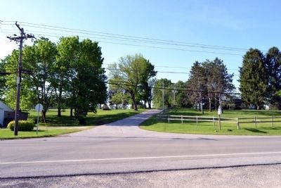
Photographed by Duane Hall, May 23, 2014
3. Site of James Gregory House Marker
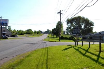
Photographed by Duane Hall, May 23, 2014
4. Site of James Gregory House Marker
Credits. This page was last revised on June 16, 2016. It was originally submitted on June 2, 2014, by Duane Hall of Abilene, Texas. This page has been viewed 974 times since then and 36 times this year. Photos: 1, 2, 3, 4. submitted on June 2, 2014, by Duane Hall of Abilene, Texas.
