Near Cloverdale in Owen County, Indiana — The American Midwest (Great Lakes)
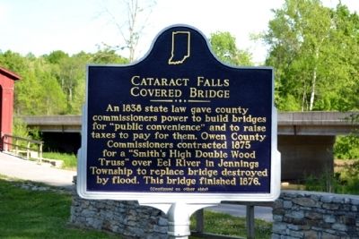
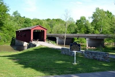
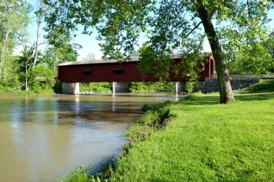
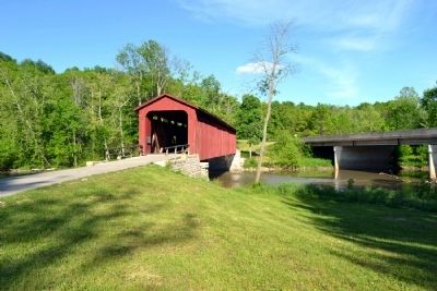
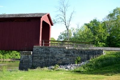
Cataract Falls Covered Bridge
(Side One)
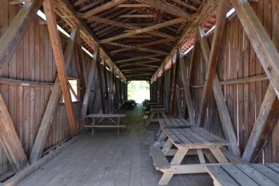
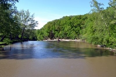
An 1838 state law gave county commissioners power to build bridges for “public convenience” and to raise taxes to pay for them. Owen County Commissioners contracted 1875 for a “Smith’s High Double Wood Truss” over Eel River in Jennings Township to replace bridge destroyed by flood. This bridge finished 1876.
(Side Two)
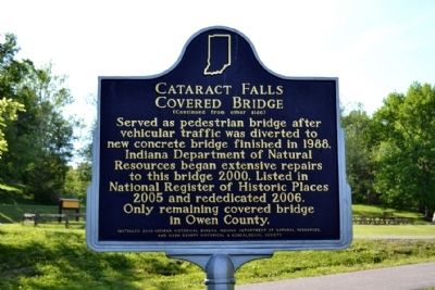
Served as pedestrian bridge after vehicular traffic was diverted to new concrete bridge finished in 1988. Indiana Department of Natural Resources began extensive repairs to this bridge 2000. Listed in National Register of Historic Places 2005 and rededicated 2006. Only remaining covered bridge in Owen County.
Erected 2008 by Indiana Historical Bureau, Indiana Department of Natural Resources, and Owen County Historical & Genealogical Society. (Marker Number 60.2008.1.)
Topics and series. This historical marker is listed in this topic list: Bridges & Viaducts. In addition, it is included in the Covered Bridges, and the Indiana Historical Bureau Markers series lists. A significant historical year for this entry is 1838.
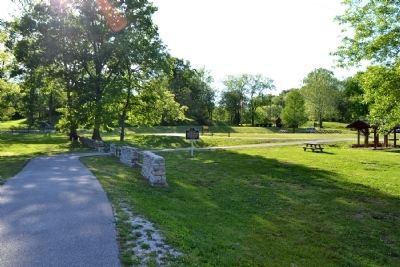
Location. 39° 26.018′ N, 86° 48.836′ W. Marker is near Cloverdale, Indiana, in Owen County. Marker can be reached from the intersection of N. Cataract Road and Owen Park Road, on the right when traveling west. Marker and covered bridge are located in Cataract Falls unit of the Lieber State Recreation Area; the above directions are to the main entrance to the Cataract Falls unit. Touch for map. Marker is in this post office area: Poland IN 47868, United States of America. Touch for directions.
Other nearby markers. At least 8 other markers are within 11 miles of this marker, measured as the crow flies. The Cataract Covered Bridge (within shouting distance of this marker); The Ten O'Clock Line (approx. 9½ miles away); Camp Hughes (approx. 9½ miles away); Ferry Bridge (approx. 10.1 miles away); Owen County (Indiana) War Memorial (approx. 10.6 miles away); Owen County War Memorial (approx. 10.6 miles away); Owen County Courthouse (approx. 10.6 miles away); American Revolution War Memorial (approx. 10.7 miles away).
Also see . . . IHB Annotations. The Indiana Historical Bureau provides annotations for the text of the marker on their website. (Submitted on June 4, 2014.)
Credits. This page was last revised on June 16, 2016. It was originally submitted on June 4, 2014, by Duane Hall of Abilene, Texas. This page has been viewed 502 times since then and 34 times this year. Photos: 1, 2, 3, 4, 5, 6, 7, 8, 9. submitted on June 4, 2014, by Duane Hall of Abilene, Texas.
