Walhalla in Oconee County, South Carolina — The American South (South Atlantic)
Stumphouse Tunnel
Photographed by Anna Inbody, August 20, 2011
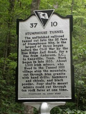
1. Stumphouse Tunnel Marker
(Front)
The unfinished railroad tunnel cut into the SE face of Stumphouse Mtn. is the largest of three begun before the Civil War by the Blue Ridge Rail Road, for a line from Anderson, S.C., to Knoxville, Tenn. Work began in late 1853. About 1,500 Irish miners, who lived in the Tunnel Hill village atop the mountain, cut through blue granite with hand drills, hammers and chisels, and black powder. Four shafts meant miners could cut through ten rock faces at one time.
Erected 2010 by Oconee Forever and Save Stumphouse Donors. (Marker Number 37-10.)
Topics. This historical marker is listed in
this page online
Location. 34° 48.621′ N, 83° 7.414′ W. Marker is in Walhalla, South Carolina, in Oconee County. It can be reached from Stumphouse Tunnel Road half a mile east of Highlands Highway (South Carolina Highway 28). Touch for map. Marker is in this post office area: Walhalla SC 29691, United States of America. Touch for directions.

Regionally, this marker is in andspecifically pstate, in the Foothills, in the Golden Corner. It is also in the American South, specifically in the Deep South, in Appalachia, and specifically in Southern Appalachia. Globally, it is in North America, the Western Hemisphere, the Western World, and the Anglosphere. Historically, it finds itself in what was once the original Cherokee Nation, the territory of the Mississippian Culture, one of the original Thirteen Colonies, one of the Confederate States of America, and the Antebellum South.
Other nearby markers. At least 8 other markers are within walking distance of this marker: Stumphouse Mountain Tunnel (within shouting distance of this
Photographed by Anna Inbody, August 20, 2011
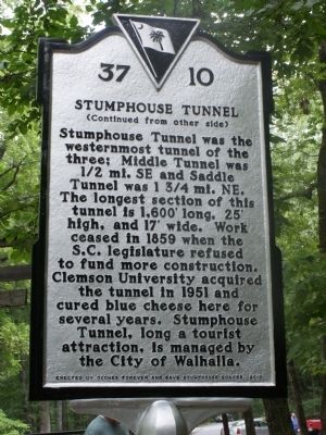
2. Stumphouse Tunnel Marker Reverse
Also see . . . Stumphouse Tunnel - Wikipedia. (Submitted on August 27, 2011, by Anna Inbody of Columbia, South Carolina.)
Photographed by Anna Inbody, August 20, 2011
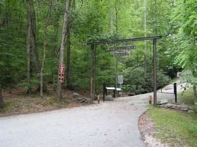
3. Overview
Photographed by Anna Inbody, August 20, 2011
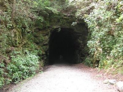
4. Stumphouse Tunnel Entrance
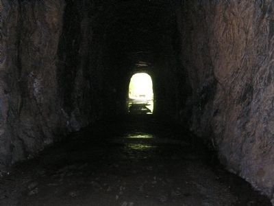
Photographed by Anna Inbody, August 20, 2011
5. Stumphouse Tunnel Interior
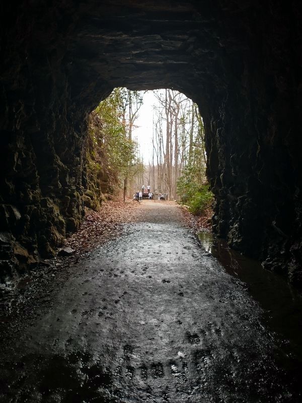
Photographed by Tom Bosse, January 3, 2026
6. Stumphouse Tunnel
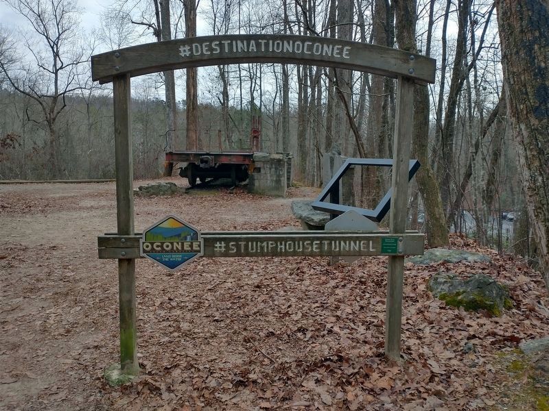
Photographed by Tom Bosse, January 3, 2026
7. Stumphouse Tunnel

Photographed by Tom Bosse, January 3, 2026
8. Stumphouse Tunnel
Credits. This page was last revised on January 16, 2026. It was originally submitted on August 24, 2011, by Anna Inbody of Columbia, South Carolina. This page has been viewed 1,860 times since then and 76 times this year. Last updated on June 6, 2014, by Darrell Bruggeman of Whitmire, South Carolina. Photos: 1, 2, 3, 4, 5. submitted on August 24, 2011, by Anna Inbody of Columbia, South Carolina. 6, 7, 8. submitted on January 10, 2026, by Tom Bosse of Jefferson City, Tennessee. • Bernard Fisher was the editor who published this page.
