Near Friesland in Columbia County, Wisconsin — The American Midwest (Great Lakes)
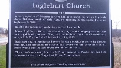
Inglehart Church
In 1867 the congregation decided to build a church.
James Inglehart offered this site as a gift, but the congregation insisted on a legal land purchase. They offered Inglehart $25 but he would only accept $10. The land deed is dated April 6, 1867.
Inglehart hauled lumber and stone for the church, for which he charged nothing, and offered free room and board for the carpenters in his home, which was located about 300 feet to the south.
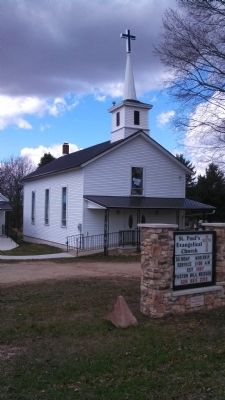
The church was completed in 1867 and named St. Paul's, but has been commonly known as "Inglehart Church" ever since.
From History of Inglehart Church by Helen Rode Noble
Topics. This historical marker is listed in these topic lists: Churches & Religion • Settlements & Settlers. A significant historical date for this entry is April 6, 1777.
Location. 43° 37.523′ N, 89° 7.645′ W. Marker is near Friesland, Wisconsin, in Columbia County. Marker is on Inglehart Road, on the left when traveling north. Marker is located about 4.9 miles north of WI-33 on Inglehart Road. Touch for map. Marker is in this post office area: Friesland WI 53935, United States of America. Touch for directions.
Other nearby markers. At least 8 other markers are within 13 miles of this marker, measured as the crow flies. David J. Jones (approx. 5.6 miles away); Historical Site (approx. 5.7 miles away); John Muir Country (approx. 8.4 miles away); Pardeeville World War I Memorial (approx. 10˝ miles away); Angie Williams Cox Public Library (approx. 10.6 miles away); Historic Pardeeville / Belmont Hotel (approx. 10.6 miles away); Wyona Park / Rifle Pit Legend (approx. 12.1 miles away); Columbia County Asylum Cemetery (approx. 12˝ miles away).
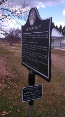
More about this marker. There is also a marker denoting that Inglehart Church has been placed on the National Register of Historic Places by the United States Department of the Interior
Credits. This page was last revised on June 16, 2016. It was originally submitted on June 7, 2014, by Eric Kuntz of Beaver Dam, Wisconsin. This page has been viewed 698 times since then and 20 times this year. Photos: 1, 2, 3, 4. submitted on June 7, 2014, by Eric Kuntz of Beaver Dam, Wisconsin. • Bill Pfingsten was the editor who published this page.


