Utica in Venango County, Pennsylvania — The American Northeast (Mid-Atlantic)
Utica Bridge
Photographed by Mike Wintermantel, June 20, 2014
1. Utica Bridge Marker
South Face
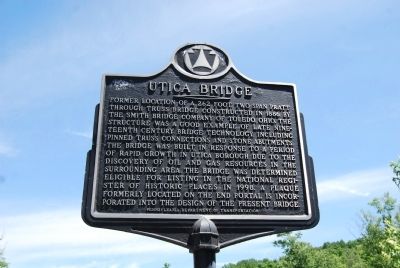
Former location of a 262 foot, two span pratt through truss bridge constructed in 1866 by the Smith Bridge Company of Toledo, Ohio. The structure was a good example of late nineteenth century bridge technology, including pinned truss connections and stone abutments. The bridge was built in response to a period of rapid growth in Utica Borough due to the discovery of oil and gas resources in the surrounding area. The bridge was determined eligible for listing in the National Register of Historic Places in 1998. A plaque formerly located on the end portal is incorporated into the design of the present bridge.
North Face
(2 photos)
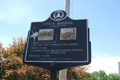
Former location of:
• Two span pratt through truss bridge
• Built in 1866
• Constructed by the Smith Bridge Company of Toledo, Ohio
Replaced in 2001
Erected by Pennsylvania Department of Transportation.
Topics. This historical marker is listed in these topic lists: Bridges & Viaducts • Industry & Commerce. A significant historical year for this entry is 1866.
Location. 41° 26.254′ N, 79° 57.338′ W. Marker is in Utica, Pennsylvania, in Venango County. It is on 3rd Street
this page online

Regionally, this marker is in Northwestern Pennsylvania. It is also in the American Northeast, in the Mid-Atlantic, in Appalachia, and specifically in Northern Appalachia. Globally, it is in North America, the Western Hemisphere, the Western World, and the Anglosphere. Historically, it finds itself in what was once the Viceroyalty of New France, the Haudenosaunee (Iroquois) Confederacy, and one of the original Thirteen Colonies.
Other nearby markers. At least 8 other markers are within 7 miles of this marker, measured as the crow flies: Adams Homestead (approx. 0.4 miles away); Carlton Bridge (approx. 4 miles away); Veterans Memorial (approx. 5 miles away); Civil War Memorial (approx. 6.9 miles away); a different marker also named Veterans Memorial (approx. 6.9 miles away); Fort Franklin (approx. 6.9 miles away); Johnny Appleseed (approx. 6.9 miles away); Major General Jesse L. Reno (approx. 7 miles away).
Photographed by Mike Wintermantel, June 20, 2014
2. Utica Bridge Marker
South Face
Photographed by Mike Wintermantel, June 20, 2014
3. Utica Bridge Marker
Photographed by Mike Wintermantel, June 20, 2014
4. Utica Bridge Marker
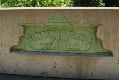
Plaque embedded into the bridge railing at the south end
Credits. This page was last revised on June 16, 2016. It was originally submitted on June 20, 2014, by Mike Wintermantel of Pittsburgh, Pennsylvania. This page has been viewed 875 times since then and 51 times this year. Photos: 1, 2, 3, 4. submitted on June 20, 2014, by Mike Wintermantel of Pittsburgh, Pennsylvania.
