North in Mathews County, Virginia — The American South (Mid-Atlantic)
Civil War In Mathews County
Artillery Position
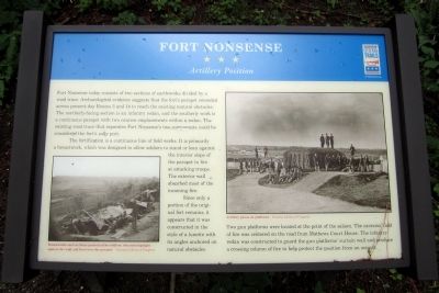
The fortification is a continuous line of field works. It is primarily a breastwork, which was designed to allow soldiers to stand or lean against the interior slope of the parapet to fire at attacking troops. The exterior wall absorbed most of the incoming fire.
Since only a portion of the original fort remains, it appears that it was constructed in the style of a lunette with its angles anchored on natural obstacles.
Two gun platforms were located at the point of the salient. The cannons' field of fire was centered on the road from Mathews Court House. The infantry redan was constructed to guard the gun platforms' curtain wall and produce a crossing column of fire to help protect the position from an assault.
(captions)
(lower left) Breastworks such as these protected the soldiers, who stood upright against the wall and fired over the parapet. - Courtesy Library of Congress
(upper right) Artillery pieces on platforms - Courtesy Library of Congress
Erected 2014 by Virginia Civil WarTrails.
Topics and series. This historical marker is listed in these topic lists: Forts and Castles • War, US Civil. In addition, it is included in the Virginia Civil War Trails series list.
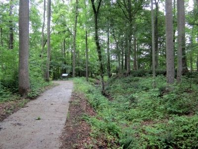
Location. 37° 27.93′ N, 76° 26.653′ W. Marker is in North, Virginia, in Mathews County. Marker can be reached from Windsor Road (Virginia Route 3) 0.2 miles north of John Clayton Memorial Highway (Virginia Route 14), on the right when traveling north. Located along the walking trail in Fort Nonsense Historical Park. Touch for map. Marker is at or near this postal address: 11160 John Clayton Memorial Hwy, North VA 23128, United States of America. Touch for directions.
Other nearby markers. At least 8 other markers are within walking distance of this marker. A different marker also named Civil War In Mathews County (within shouting distance of this marker); a different marker also named Civil War In Mathews County (within shouting distance of this marker); John Clayton, Botanist (within shouting distance of this marker); Fort Nonsense (about 400 feet away, measured in a direct line); Field Fortifications (about 400 feet away); By Land And By Sea (about 500 feet away); a different marker also named Fort Nonsense (about 500 feet away); Mathews County (about 500 feet away). Touch for a list and map of all markers in North.
Credits. This page was last revised on June 24, 2021. It was originally submitted on June 22, 2014, by Bernard Fisher of Richmond, Virginia. This page has been viewed 594 times since then and 15 times this year. Photos: 1, 2, 3. submitted on June 22, 2014, by Bernard Fisher of Richmond, Virginia.


