Near Shanty Town in White Pine County, Nevada — The American Mountains (Southwest)
Fort Ruby
1862 - 1869
Photographed by Chris English, June 18, 2014
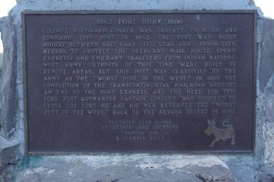
1. Fort Ruby Marker
Erected 1994 by Lucinda Jane Saunders Chapter 1881 E Clampus Vitus.
Topics and series. This historical marker is listed in this topic list: Forts and Castles. In addition, it is included in the E Clampus Vitus series list. A significant historical year for this entry is 1862.
Location. 40° 4.025′ N, 115° 31.827′ W. Marker is near Shanty Town, Nevada, in White Pine County. It is on White Pine County Road (County Road 3) 53.7 miles north of U.S. 50, on the right when traveling north.
this page online

Regionally, this marker is in Central Nevada and in Elko Country. It is also in the American Mountain West. Globally, it is in North America, the Western Hemisphere, the Western World, and the Anglosphere. Historically, it finds itself in what was once New Spain and also Mexico’s Alta California.
More about this marker. This is probably one of the most remote historical markers in the Lower 48 States.
Also see . . . Fort Ruby. Forgotten Nevada website entry (Submitted on April 19, 2026, by Larry Gertner of New York, New York.)
Photographed by Chris English, June 18, 2014
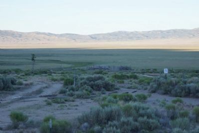
2. Site of Fort Ruby
Photographed by Chris English, June 18, 2014
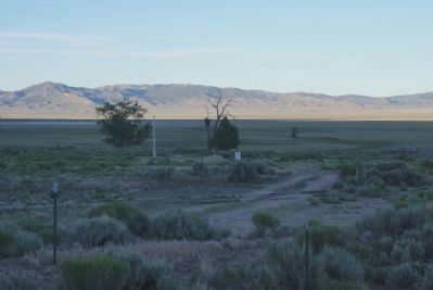
3. View E from the Fort Ruby Marker
A commemorative flagpole is visible in the picture, Fort Ruby ruins at center right.
Photographed by Chris English, June 18, 2014
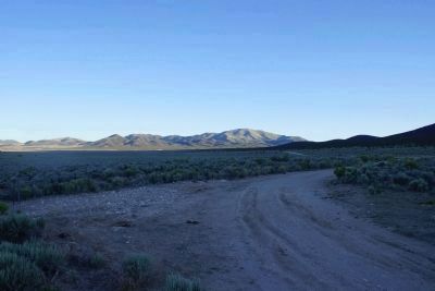
4. View S from the Fort Ruby Marker
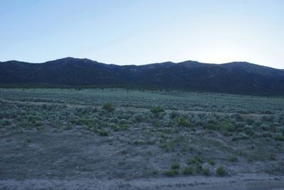
Photographed by Chris English, June 18, 2014
5. View W from the Fort Ruby Marker
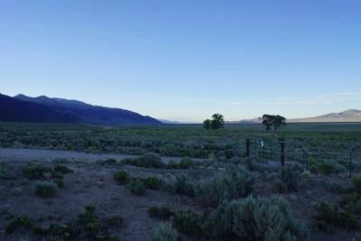
Photographed by Chris English, June 18, 2014
6. View N from the Fort Ruby Marker
Credits. This page was last revised on April 19, 2026. It was originally submitted on June 20, 2014, by Chris English of Phoenix, Arizona. This page has been viewed 1,098 times since then and 70 times this year. Last updated on June 23, 2014, by Chris English of Phoenix, Arizona. Photos: 1, 2. submitted on June 20, 2014, by Chris English of Phoenix, Arizona. 3, 4, 5, 6. submitted on June 23, 2014, by Chris English of Phoenix, Arizona. • Syd Whittle was the editor who published this page.
