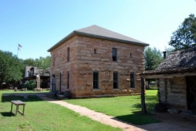
Buffalo Gap in Taylor County, Texas — The American South (West South Central)
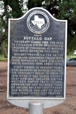
Town of Buffalo Gap
Probably named for the pass in Callahan Divide (Mountains) crossed by thousands of buffalo that once inhabited this area.
Besides providing the native Apache and Comanche Indians with food, buffaloes drew the first white hunters here about 1874.
First homes in present town were dugouts of buffalo hunters. The community began to grow in 1878 when it was named county seat and was located on the Western Cattle Trail. In 1883, however, the new railroad town of Abilene became county seat and Buffalo Gap, like so many small Texas towns, lost prestige.
Erected 1968 by State Historical Survey Committee. (Marker Number 5523.)
Topics. This historical marker is listed in these topic lists: Native Americans • Settlements & Settlers. A significant historical year for this entry is 1874.
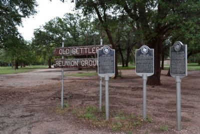
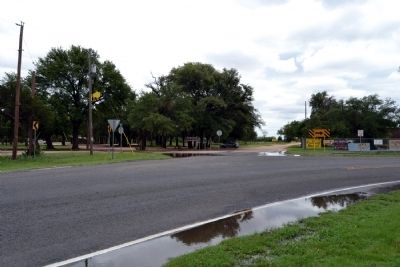
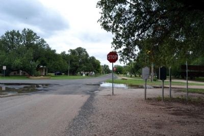
Location. 32° 16.831′ N, 99° 49.596′ W. Marker is in Buffalo Gap, Texas, in Taylor County. Marker is at the intersection of West Street and Vine Street, on the left when traveling south on West Street. Marker is located at the Old Settlers Reunion Grounds. Touch for map. Marker is in this post office area: Buffalo Gap TX 79508, United States of America. Touch for directions.
Other nearby markers. At least 8 other markers are within 5 miles of this marker, measured as the crow flies. Vicinity of Indian Fight (here, next to this marker); Buffalo Gap College (here, next to this marker); The Ernie Wilson Museum (approx. 0.4 miles away); Taylor County (approx. 0.4 miles away); Buffalo Gap Cemetery (approx. 1.8 miles away); a different marker also named Taylor County (approx. 4 miles away); The Civilian Conservation Corps at Abilene State Park (approx. 4.3 miles away); Cedar Gap Community (approx. 4.3 miles away). Touch for a list and map of all markers in Buffalo Gap.
Also see . . . Buffalo Gap, TX. From the Texas State Historical Association's “The Handbook of Texas”. (Submitted on June 23, 2014.)
Credits. This page was last revised on November 29, 2020. It was originally submitted on June 23, 2014, by Duane Hall of Abilene, Texas. This page has been viewed 683 times since then and 37 times this year. Photos: 1, 2, 3, 4, 5. submitted on June 23, 2014, by Duane Hall of Abilene, Texas.
