Alburgh in Grand Isle County, Vermont — The American Northeast (New England)
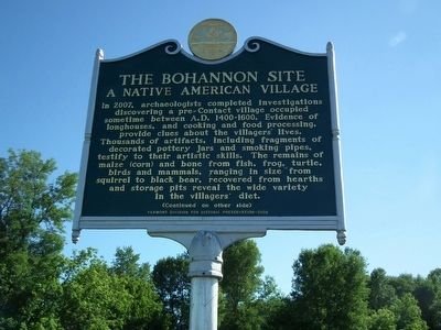
The Bohannon Site
A Native American Village
{Front side}
In 2007, archaeologists completed investigations discovering a pre-Contact village occupied sometime between A.D. 1400-1600. Evidence of longhouses, and cooking and food processing, provide clues about the villagers' lives. Thousands of artifacts, including fragments of decorated pottery jars and smoking pipes, testify to their artistic skills. The remains of maize (corn) and bone from fish, frog, turtle, birds and mammals, ranging in size from squirrel to black bear, recovered from hearths and storage pits reveal the wide variety in the villagers' diet.
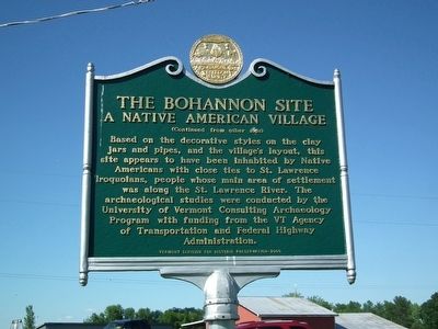
{Back side}
Based on the decorative styles on the clay jars and pipes, and the village's layout, this site appears to have been inhabited by Native Americans with close ties to St. Lawrence Iroquoians, people whose main area of settlement was along the St. Lawrence River. The archaeological studies were conducted by the University of Vermont Consulting Archaeology Program with funding from the VT Agency of Transportation and Federal Highway Administration.
Erected 2008 by Vermont Division for Historic Preservation.
Topics. This historical marker is listed in this topic list: Native Americans.
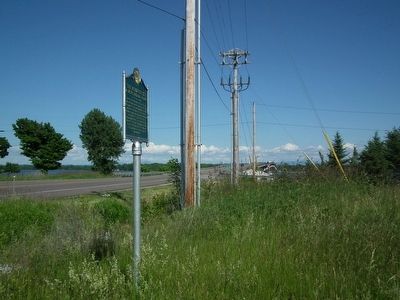
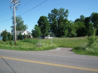
Location. 44° 58.52′ N, 73° 13.71′ W. Marker is in Alburgh, Vermont, in Grand Isle County. Marker is on Vermont Route 78, 0.1 miles west of East Alburg Road, on the right when traveling east. Located just west of the Missisquoi Bay bridge that crosses Lake Champlain. Touch for map. Marker is in this post office area: Alburgh VT 05440, United States of America. Touch for directions.
Other nearby markers. At least 8 other markers are within 7 miles of this marker, measured as the crow flies. 10,000 Years of Fishing / 10 000 ans de pêche (approx. 3.3 miles away); The International Boundary is Settled / La frontière internationale est définie (approx. 3.4 miles away); Missile Site (approx. 3.4 miles away); Historic Lake Islands - Samuel De Champlain (approx. 3.4 miles away); First People of the Missisquoi Delta (approx. 4.3 miles away); Missisquoi Village and Mission (approx. 6.1 miles away); The "White House" (approx. 6.4 miles away in New York); Point au Fer Historic Site (approx. 6.4 miles away in New York). Touch for a list and map of all markers in Alburgh.
More about this marker. A tiny (one car) parking lot is available next to the marker, but the shoulders of Route 78 are wide and paved.
Credits. This page was last revised on June 16, 2016. It was originally submitted on June 23, 2014, by Kevin Craft of Bedford, Quebec. This page has been viewed 823 times since then and 90 times this year. Photos: 1, 2, 3, 4. submitted on June 23, 2014, by Kevin Craft of Bedford, Quebec. • Bill Pfingsten was the editor who published this page.


