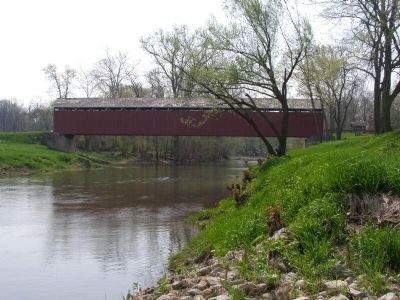
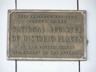
Matthews in Grant County, Indiana — The American Midwest (Great Lakes)
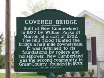
Covered Bridge
Erected by Grant County Historical Society.
Topics and series. This historical marker is listed in these topic lists: Bridges & Viaducts • Roads & Vehicles. In addition, it is included in the Covered Bridges series list. A significant historical year for this entry is 1877.
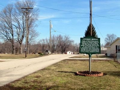
Location. 40° 23.227′ N, 85° 29.277′ W. Marker is in Matthews, Indiana, in Grant County. Marker is on 4th Street south of High Street, on the right when traveling east. Touch for map. Marker is in this post office area: Matthews IN 46957, United States of America. Touch for directions.
Other nearby markers. At least 8 other markers are within 5 miles of this marker, measured as the crow flies. Matthews Veterans Memorial (about 600 feet away, measured in a direct line); Lt. Col. Thomas W. (Bill) Boles (about 600 feet away); The New Cumberland Gristmill 1853-1920 (approx. 0.2 miles away); Cumberland Covered Bridge (approx. 0.2 miles away); This Covered Bridge (approx. 0.2 miles away); Elizabethtown (approx. 1.9 miles away); The Village of Trask (approx. 3.1 miles away); In Memory Of William J. Leach (approx. 4.6 miles away). Touch for a list and map of all markers in Matthews.
Photographed By Christopher Light, April 25, 2008
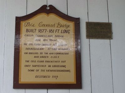
4. Historic placard
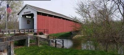
This Coverd Bridge, Built 1877- 181 Ft. Long, Called Cumberland Bridge for Old Town. The 1913 flood carried the bridge downstream. It was returned on rollers to the old foundation and raised 3 feet. The 1958 flood threatened but only succeeded in loosening some of the weatherboarding. Restored 1999
Photographed By Christopher Light, April 25, 2008
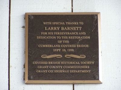
8. Dedication marker
with special thanks to Larry barnett for his perseverance and dedication to the restoration of the Cumberland Covered Bridge, Sept 10, 1999
Covered Bridge Historical Society, Grant County Commissioners, Grand Co. Highway Department
Covered Bridge Historical Society, Grant County Commissioners, Grand Co. Highway Department
Credits. This page was last revised on June 16, 2016. It was originally submitted on April 30, 2008, by Christopher Light of Valparaiso, Indiana. This page has been viewed 1,722 times since then and 15 times this year. Photos: 1. submitted on April 30, 2008, by Christopher Light of Valparaiso, Indiana. 2. submitted on January 26, 2014, by Duane Hall of Abilene, Texas. 3, 4, 5, 6, 7, 8. submitted on April 30, 2008, by Christopher Light of Valparaiso, Indiana. • Kevin W. was the editor who published this page.
