Near Sevier in Sevier County, Utah — The American Mountains (Southwest)
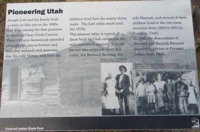
Pioneering Utah
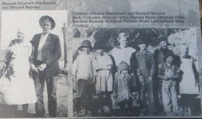
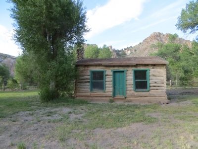
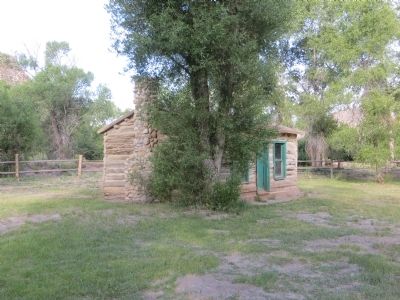
This pioneer cabin is typical of those built by Utah settlers in the mid-nineteenth century. It is not known who originally built this cabin, but Bernard Barnson, his wife Hannah, and several of their children lived in the two-room structure from 1903 to 1953 in Junction, Utah.
In 1996, the descendants of Bernard and Hannah Barnson donated this cabin to Fremont Indian State Park.
Erected by Fremont Indian State Park.
Topics. This historical marker is listed in this topic list: Settlements & Settlers. A significant historical year for this entry is 1903.
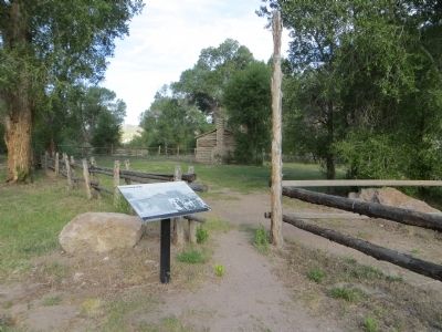
Location. 38° 34.773′ N, 112° 19.472′ W. Marker is near Sevier, Utah, in Sevier County. Marker is on Utah Route 4 at milepost 10, on the right when traveling east. Touch for map. Marker is in this post office area: Sevier UT 84766, United States of America. Touch for directions.
Other nearby markers. At least 5 other markers are within 12 miles of this marker, measured as the crow flies. Town of Joseph and Pioneer Log Cabin (approx. 6.7 miles away); Marysvale (approx. 10.3 miles away); Fort Alma (later Monroe) 1864-1867 (approx. 11˝ miles away); Camp Alma Relic Hall (approx. 11.6 miles away); Elsinore (approx. 12.1 miles away).
Credits. This page was last revised on June 16, 2016. It was originally submitted on June 25, 2014, by Bill Kirchner of Tucson, Arizona. This page has been viewed 482 times since then and 15 times this year. Photos: 1, 2, 3, 4, 5. submitted on June 25, 2014, by Bill Kirchner of Tucson, Arizona. • Syd Whittle was the editor who published this page.
