Uptown in Memphis in Shelby County, Tennessee — The American South (East South Central)
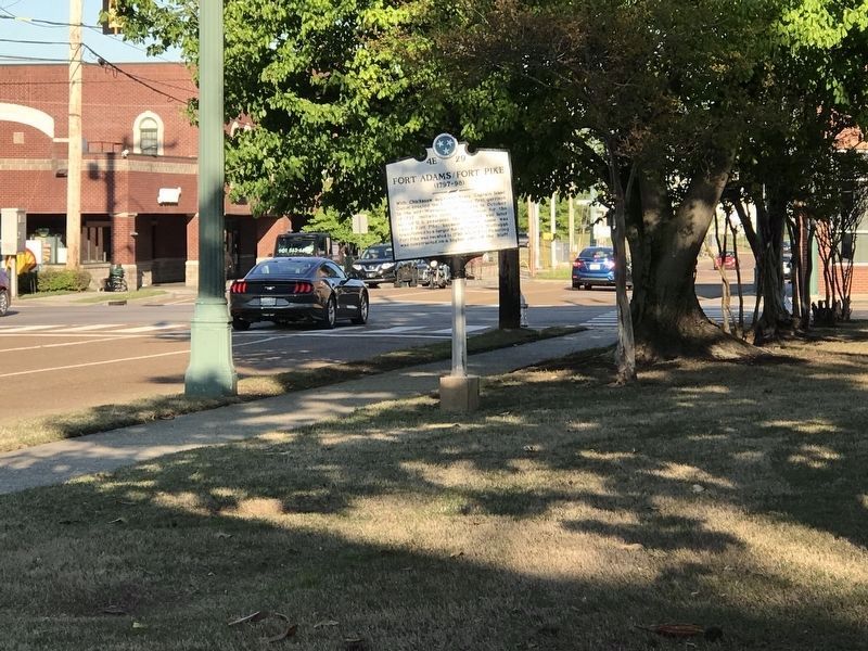
Fort Adams / Fort Pike
Erected by Tennessee Historical Commission. (Marker Number 4E 29.)
Topics and series. This memorial is listed in these topic lists: Forts and Castles • Native Americans. In addition, it is included in the Tennessee Historical Commission series list.
Location. 35° 9.432′ N, 90° 2.898′ W. Marker is in Memphis, Tennessee, in Shelby County. It is in Uptown. Memorial is on A.W. Willis Avenue. Touch for map. Marker is in this post office area: Memphis TN 38105, United States of America. Touch for directions.
Other nearby markers. At least 8 other markers are within walking distance of this marker. Fort San Fernando (within shouting distance of this marker); The Lynching of Lee Walker (about 400 feet away, measured in a direct line); First Memphis Waterfront (approx. 0.2 miles away); First Tavern (approx. ¼ mile away); First Court House, First Newspaper (approx. 0.3 miles away); Pre-Civil War Lynching at Market Square (approx. 0.3 miles away); Market Square (approx. 0.4 miles away); Lauderdale Courts / Presley Family at Lauderdale Courts (approx. 0.4 miles away). Touch for a list and map of all markers in Memphis.
Credits. This page was last revised on February 7, 2023. It was originally submitted on June 25, 2014, by Don Morfe of Baltimore, Maryland. This page has been viewed 834 times since then and 47 times this year. Photos: 1, 2. submitted on June 25, 2014, by Don Morfe of Baltimore, Maryland. 3. submitted on April 20, 2020, by Duane and Tracy Marsteller of Murfreesboro, Tennessee. • Bill Pfingsten was the editor who published this page.


