Near Richfield in Sevier County, Utah — The American Mountains (Southwest)
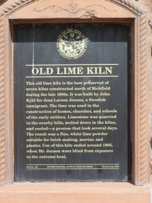
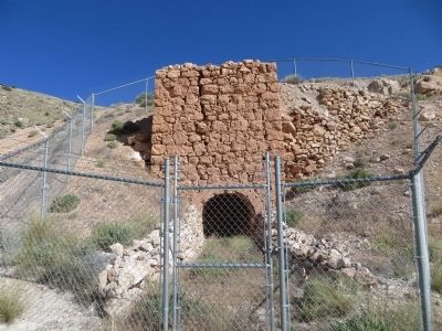
Old Lime Kiln
Erected 2006 by Sevier Chapter, Sons of Utah Pioneers. (Marker Number 125.)
Topics and series. This historical marker is listed in this topic list: Industry & Commerce. In addition, it is included in the Sons of Utah Pioneers series list. A significant historical year for this entry is 1905.
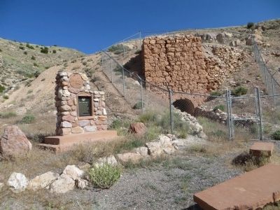
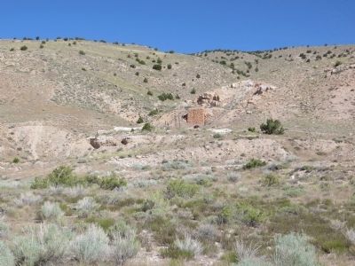
Location. 38° 47.605′ N, 112° 5.128′ W. Marker is near Richfield, Utah, in Sevier County. Marker is at the intersection of Utah Route 120 and Interstate 70, on the left when traveling north on State Route 120. Marker is northwest of the intersection and the lime kiln can be seen from the road. Touch for map. Marker is in this post office area: Richfield UT 84701, United States of America. Touch for directions.
Other nearby markers. At least 8 other markers are within 6 miles of this marker, measured as the crow flies. First Jail in Sevier County (about 300 feet away, measured in a direct line); Richfield Pioneers (approx. 1˝ miles away); Richfield Carnegie Library (approx. 1.7 miles away); Academy Hall (approx. 1.8 miles away); Fort Omni – Richfield (approx. 1.8 miles away); Richfield Presbyterian Church and School (approx. 2 miles away); Glenwood United Order (approx. 5.2 miles away); ZCMI Co-Op Building 1878-1930 / Glenwood Cooperative Mercantile (approx. 5˝ miles away). Touch for a list and map of all markers in Richfield.
More about this marker. You will have to walk up a small hill to view the marker and lime kiln close up.
Credits. This page was last revised on June 16, 2016. It was originally submitted on June 26, 2014, by Bill Kirchner of Tucson, Arizona. This page has been viewed 907 times since then and 78 times this year. Photos: 1, 2, 3, 4. submitted on June 26, 2014, by Bill Kirchner of Tucson, Arizona. • Syd Whittle was the editor who published this page.


